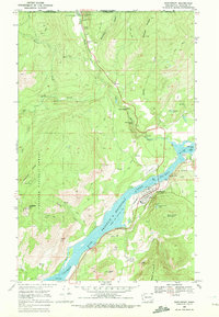
1969 Map of Northport
USGS Topo · Published 1972About this map
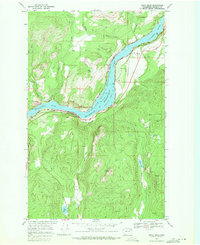
The Columbia River corridor dominates this northern Washington survey, where the waters of Franklin D Roosevelt Lake back up behind the Grand Coulee Dam. The town of Northport serves as the regional hub, situated where the Burlington Northern railroad tracks parallel the riverbank. This area, just south of the Canada-United States border, shows a landscape defined by both heavy industry and resource extraction. Evidence of the region's mining heritage is scattered across the surrounding peaks, with the Double Standard Mine, Coyote Mine, and Hubbard Mine dotting the ridges.
Find a feature on this map
45 named features on this map. Tap any name to fly to it.
Don’t see what you’re looking for? This feature index may not catch every label — zoom into the map to look around manually.
Map Details
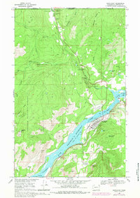
Editions of this 1969 Northport Map
2 editions found
Other maps of this area

1929 · Colville
USGS Topo · 1:125,000

1933 · Colville
USGS Topo · 1:125,000

1952 · Spirit
USGS Topo · 1:24,000

1952 · Boundary
USGS Topo · 1:24,000

1958 · Sandpoint
USGS Topo · 1:250,000

1963 · Sandpoint
USGS Topo · 1:250,000
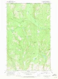
1969 · Belshazzar Mtn
USGS Topo · 1:24,000
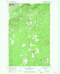
1969 · Onion Creek
USGS Topo · 1:24,000
1969 · China Bend
USGS Topo · 1:24,000
1984 · Colville
USGS Topo · 1:100,000