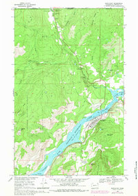
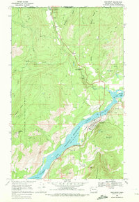
1969 Map of Northport
USGS Topo · Published 1982About this map
Northport serves as the primary hub of this northern frontier, situated along the massive Franklin D Roosevelt Lake reach of the Columbia River. The map captures the industrial and transportation infrastructure of the late 1960s, including the Northern Pacific railroad line and the Lowry Landing Strip near the riverbank. Beyond the town, the terrain rises into the Colville National Forest, where a legacy of hard-rock mining is evident through sites like the Great Republic Mine, Double Standard Mine, and St Crispen Mine.
Find a feature on this map
44 named features on this map. Tap any name to fly to it.
Don’t see what you’re looking for? This feature index may not catch every label — zoom into the map to look around manually.
Map Details
Editions of this 1969 Northport Map
2 editions found
Other maps of this area

1929 · Colville
USGS Topo · 1:125,000

1933 · Colville
USGS Topo · 1:125,000

1952 · Spirit
USGS Topo · 1:24,000

1952 · Boundary
USGS Topo · 1:24,000

1958 · Sandpoint
USGS Topo · 1:250,000

1963 · Sandpoint
USGS Topo · 1:250,000
1969 · Belshazzar Mtn
USGS Topo · 1:24,000
1969 · Onion Creek
USGS Topo · 1:24,000
1969 · China Bend
USGS Topo · 1:24,000
1969 · Northport
USGS Topo · 1:24,000