
1952 Map of Leadpoint
USGS Topo · Published 1954About this map
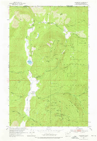
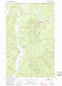
Mining operations dominate the landscape of the Colville National Forest just south of the Canada United States border in the early 1950s. The settlement of Leadpoint serves as a central point for the surrounding mountainous terrain, where dozens of extraction sites like the Gladstone Mine, Iroquois Mine, and Admiral Mine & Mill are established. The map reveals the specialized nature of the local industry through unique landmarks such as the Radio Shaft on Gladstone Mountain and the West Side Shaft.
Find a feature on this map
48 named features on this map. Tap any name to fly to it.
Don’t see what you’re looking for? This feature index may not catch every label — zoom into the map to look around manually.
Map Details
Editions of this 1952 Leadpoint Map
3 editions found
Other maps of this area

1929 · Colville
USGS Topo · 1:125,000

1933 · Colville
USGS Topo · 1:125,000

1934 · Metaline
USGS Topo · 1:125,000

1942 · Metaline
USGS Topo · 1:125,000

1952 · Spirit
USGS Topo · 1:24,000

1952 · Deep Lake
USGS Topo · 1:24,000

1952 · Boundary
USGS Topo · 1:24,000

1958 · Sandpoint
USGS Topo · 1:250,000

1963 · Sandpoint
USGS Topo · 1:250,000

1967 · Metaline
USGS Topo · 1:24,000