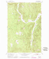
1952 Map of Spirit
USGS Topo · Published 1986About this map
Mining operations and small-scale settlement define this section of the Colville National Forest in Stevens County, Washington. The map traces a rugged economy built around diverse extraction sites, including the Stonewall Mine, Great Western Mine, and a significant Marble Quarry near the center of the sheet. Local life centers on the hamlet of Spirit, where the Spirit School and South Fork Grange serve as community landmarks along the confluence of the North Fork and South Fork of Deep Creek.
Find a feature on this map
40 named features on this map. Tap any name to fly to it.
Don’t see what you’re looking for? This feature index may not catch every label — zoom into the map to look around manually.
Map Details
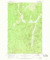
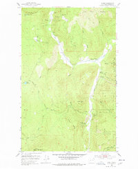
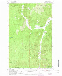
Editions of this 1952 Spirit Map
5 editions found
Other maps of this area

1929 · Colville
USGS Topo · 1:125,000

1933 · Colville
USGS Topo · 1:125,000

1952 · Gillette Mtn
USGS Topo · 1:24,000

1952 · Spirit
USGS Topo · 1:24,000

1952 · Deep Lake
USGS Topo · 1:24,000

1952 · Leadpoint
USGS Topo · 1:24,000

1952 · Boundary
USGS Topo · 1:24,000

1952 · Aladdin
USGS Topo · 1:24,000

1958 · Sandpoint
USGS Topo · 1:250,000

1963 · Sandpoint
USGS Topo · 1:250,000