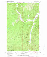
1952 Map of Spirit
USGS Topo · Published 1982About this map
Mining operations and remote homesteads define this Stevens County landscape during the mid-20th century. Numerous claims dot the mountainsides, including the Deep Creek Mine, Black Rock Mine, and the Stonewall Mine on the slopes of Stoddard Mountain. The drainage of Deep Creek and its South Fork serves as the primary corridor for movement and industry, where the Goldfield Mill processed ore from surrounding peaks.
Find a feature on this map
42 named features on this map. Tap any name to fly to it.
Don’t see what you’re looking for? This feature index may not catch every label — zoom into the map to look around manually.
Map Details
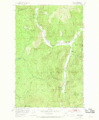
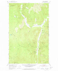
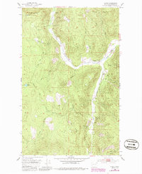
Editions of this 1952 Spirit Map
5 editions found
Other maps of this area

1929 · Colville
USGS Topo · 1:125,000

1933 · Colville
USGS Topo · 1:125,000

1952 · Gillette Mtn
USGS Topo · 1:24,000

1952 · Spirit
USGS Topo · 1:24,000

1952 · Deep Lake
USGS Topo · 1:24,000

1952 · Leadpoint
USGS Topo · 1:24,000

1952 · Boundary
USGS Topo · 1:24,000

1952 · Aladdin
USGS Topo · 1:24,000

1958 · Sandpoint
USGS Topo · 1:250,000

1963 · Sandpoint
USGS Topo · 1:250,000