
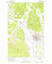
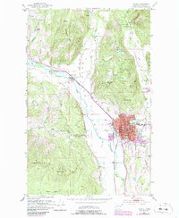
1952 Map of Colville
USGS Topo · Published 1954About this map
Colville serves as the busy center of this 1952 survey, anchored by its Courthouse, City Hall, and the Hdqrs Colville Nat'l Forest. The town's economic foundations are clearly visible in the extensive industrial infrastructure, including the Great Northern rail lines and Palmer Siding. North of the main settlement lies the Pinkney City (Site) and the Fort Colville Historical Mon, marking the early frontier heritage of Stevens County.
Find a feature on this map
49 named features on this map. Tap any name to fly to it.
Don’t see what you’re looking for? This feature index may not catch every label — zoom into the map to look around manually.
Map Details
Editions of this 1952 Colville Map
3 editions found
Other maps of this area

1927 · Chewelah
USGS Topo · 1:125,000

1929 · Colville
USGS Topo · 1:125,000

1930 · Chewelah
USGS Topo · 1:125,000

1933 · Colville
USGS Topo · 1:125,000

1936 · Marcus
USGS Topo · 1:96,000

1942 · Marcus
USGS Topo · 1:125,000

1948 · Kettle Falls
USGS Topo · 1:62,500

1950 · Inchelium
USGS Topo · 1:62,500

1951 · Kettle Falls
USGS Topo · 1:62,500

1952 · Gillette Mtn
USGS Topo · 1:24,000