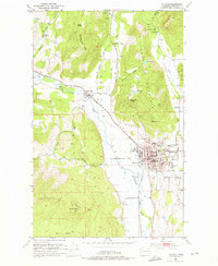
1952 Map of Colville
USGS Topo · Published 1976About this map
The city of Colville serves as a hub of industry and civic life in the mid-20th century, situated along the Colville River and the Great Northern railroad lines. The urban grid is dense with institutional landmarks, including the Courthouse, City Hall, and the Hdqrs Colville Natl Forest. Agricultural and industrial activities define the surrounding valley, evidenced by the Bonanza Lead Mill and the Colville Valley Grange.
Find a feature on this map
61 named features on this map. Tap any name to fly to it.
Don’t see what you’re looking for? This feature index may not catch every label — zoom into the map to look around manually.
Map Details
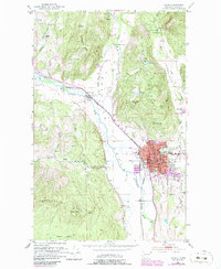
Editions of this 1952 Colville Map
3 editions found

Other maps of this area

1927 · Chewelah
USGS Topo · 1:125,000

1929 · Colville
USGS Topo · 1:125,000

1930 · Chewelah
USGS Topo · 1:125,000

1933 · Colville
USGS Topo · 1:125,000

1936 · Marcus
USGS Topo · 1:96,000

1942 · Marcus
USGS Topo · 1:125,000

1948 · Kettle Falls
USGS Topo · 1:62,500

1950 · Inchelium
USGS Topo · 1:62,500

1951 · Kettle Falls
USGS Topo · 1:62,500

1952 · Gillette Mtn
USGS Topo · 1:24,000