Loading...
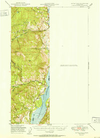
Loading map...1951 Map of Kettle Falls
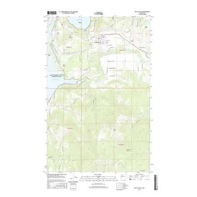
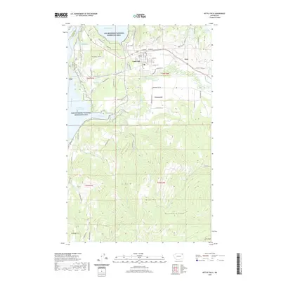
USGS Topo · Published 1951About this map
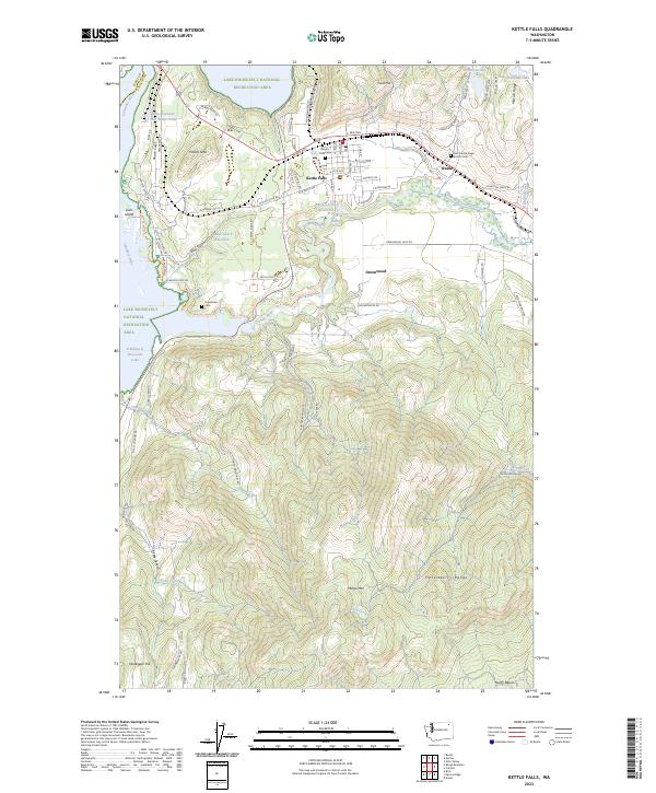
Franklin D Roosevelt Lake dominates the eastern edge of this 1951 survey, reflecting the landscape following the impoundment of the Columbia River. The map documents the early years of the reservoir within the Colville National Forest, where the terrain rises sharply from the shoreline into the peaks of Hoodoo Mtn and Bangs Mtn. In the northern section, the settlement of Boyds serves as a focal point near the mouth of Deadman Creek.
Find a feature on this map
27 named features on this map. Tap any name to fly to it.
Don’t see what you’re looking for? This feature index may not catch every label — zoom into the map to look around manually.
Map Details
Date Portrayed1951
Date Published1951
PublisherU.S. Geological Survey
Map TypeTopographic
Scale1:62,500
Physical Dimensions15 x 20.7 inches
Editions of this 1951 Kettle Falls Map
This is the sole edition of this map. No revisions or reprints were ever made.
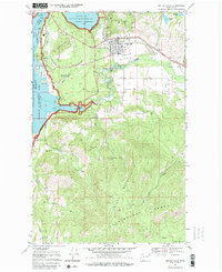
Historical Maps of Kettle Falls Through Time
8 maps found

Featured Locations
Source Details
SourceU.S. Geological Survey
CopyrightPublic Domain