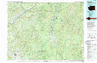
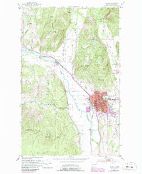
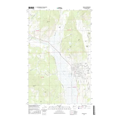
1984 Map of Colville
USGS Topo · Published 1995About this map
Mining operations and rugged river valleys define this corner of the Pacific Northwest during the early 1980s. The landscape is heavily marked by the region's extractive history, featuring dozens of named prospects such as the Old Dominion Mine, the Admiral Mine & Mill, and the Gladstone Mine. The Columbia River and Pend Oreille River serve as the primary geographic anchors, with the Burlington Northern railroad following the water gaps to connect industrial outposts like Northport and Metaline Falls.
Find a feature on this map
219 named features on this map. Tap any name to fly to it.
Don’t see what you’re looking for? This feature index may not catch every label — zoom into the map to look around manually.
Map Details
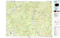
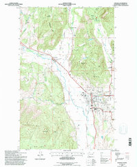
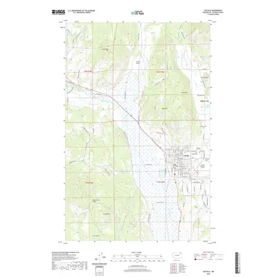
Editions of this 1984 Colville Map
2 editions found
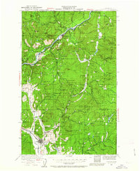
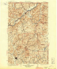
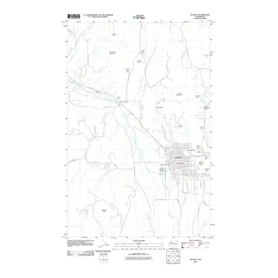
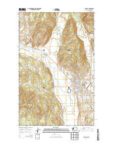
Historical Maps of Colville Through Time
10 maps found
1929 Colville
Stevens County, WA
1933 Colville
Stevens County, WA
1952 Colville
Stevens County, WA
1984 Colville
Stevens County, WA
1992 Colville
Stevens County, WA
2011 Colville
Stevens County, WA
2014 Colville
Stevens County, WA
2017 Colville
Stevens County, WA
2020 Colville
Stevens County, WA
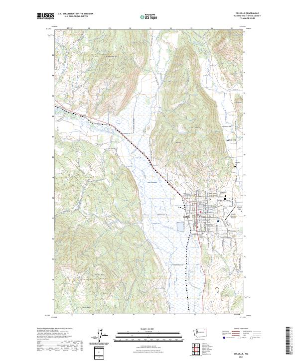
2023 Colville
Stevens County, WA