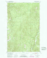
1952 Map of Gillette Mtn
USGS Topo · Published 1986About this map
Colville National Forest dominates this section of Stevens County, where the steep terrain of Uncle Sam Mountain and Onion Mountain gave rise to a significant mining economy in the mid-20th century. Numerous claims are scattered across the drainage basins of Onion Creek and Clugston Creek, including the Galena Farm Mine, Lucky Boy Mine, and the Echo Mine. The map reveals the extractive history of the region through specifically named sites like the Marble Quarry and Big Chief Mine, while Reed Ranch provides a rare point of named habitation amidst the forest. A network of creeks, such as Indian Creek and Gillette Creek, carve through the ridges, illustrating how the topography dictated the placement of early mountain roads and prospecting trails.
Find a feature on this map
46 named features on this map. Tap any name to fly to it.
Don’t see what you’re looking for? This feature index may not catch every label — zoom into the map to look around manually.
Map Details
Editions of this 1952 Gillette Mtn Map
3 editions found
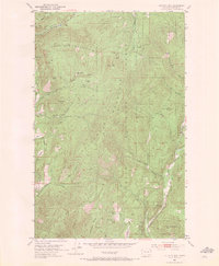
Other maps of this area

1929 · Colville
USGS Topo · 1:125,000

1933 · Colville
USGS Topo · 1:125,000

1952 · Gillette Mtn
USGS Topo · 1:24,000

1952 · Spirit
USGS Topo · 1:24,000

1952 · Echo Valley
USGS Topo · 1:24,000

1952 · White Mud Lake
USGS Topo · 1:24,000

1952 · Aladdin
USGS Topo · 1:24,000

1952 · Colville
USGS Topo · 1:24,000

1958 · Sandpoint
USGS Topo · 1:250,000

1963 · Sandpoint
USGS Topo · 1:250,000