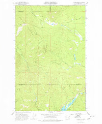
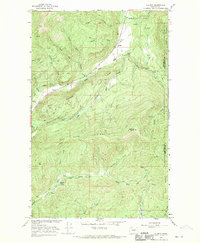
1967 Map of Aladdin Mtn
USGS Topo · Published 1980About this map
Aladdin Mountain and the high ridges of the Selkirk range define this section of the Colville National Forest region during the late 1960s. The landscape is marked by a history of resource extraction, evidenced by several mountain-side operations including the Lasota Mine, the Rocky Creek Mine, and the Middleport Mine. These sites are linked by a network of logging roads and trails that traverse the divide between Stevens and Pend Oreille counties. Along the eastern drainage, a chain of high-altitude waters including Lake Thomas, Heritage Lake, and Lake Leo feed into the Little Pend Oreille River. The presence of the Princess Pine Camp near the southern lakes suggests the area's dual role as a site for both industrial labor and mountain recreation during this era.
Find a feature on this map
30 named features on this map. Tap any name to fly to it.
Don’t see what you’re looking for? This feature index may not catch every label — zoom into the map to look around manually.
Map Details
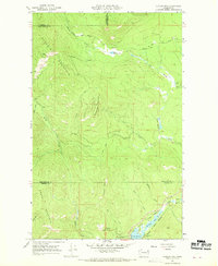
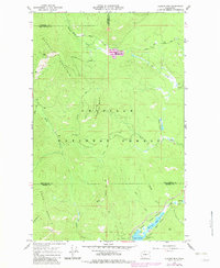
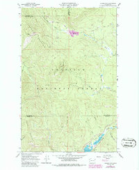
Editions of this 1967 Aladdin Mtn Map
4 editions found
Other maps of this area

1929 · Colville
USGS Topo · 1:125,000

1933 · Colville
USGS Topo · 1:125,000

1934 · Metaline
USGS Topo · 1:125,000

1942 · Metaline
USGS Topo · 1:125,000

1952 · Spirit
USGS Topo · 1:24,000

1952 · Deep Lake
USGS Topo · 1:24,000

1952 · Aladdin
USGS Topo · 1:24,000

1958 · Sandpoint
USGS Topo · 1:250,000

1963 · Sandpoint
USGS Topo · 1:250,000
1966 · Aladdin
USGS Topo · 1:24,000