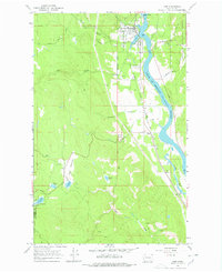
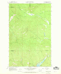
1967 Map of Ione
USGS Topo · Published 1978About this map
Ione sits as a primary settlement along the Pend Oreille River during the late 1960s, its layout defined by the path of the Chicago Milwaukee St Paul and Pacific railroad. The river corridor serves as a hub of activity, featuring the Ione Bridge and the Riverside Cem just south of town. This survey shows the area's transition from the industrial riverfront to the dense woods of the Colville National Forest, where a network of logging and access routes like Stecker Road and Honsinger Road crisscross the terrain.
Find a feature on this map
40 named features on this map. Tap any name to fly to it.
Don’t see what you’re looking for? This feature index may not catch every label — zoom into the map to look around manually.
Map Details
Editions of this 1967 Ione Map
4 editions found

Other maps of this area

1929 · Colville
USGS Topo · 1:125,000

1933 · Colville
USGS Topo · 1:125,000

1934 · Metaline
USGS Topo · 1:125,000

1942 · Metaline
USGS Topo · 1:125,000

1952 · Deep Lake
USGS Topo · 1:24,000

1958 · Sandpoint
USGS Topo · 1:250,000

1963 · Sandpoint
USGS Topo · 1:250,000
1966 · Lake Gillette
USGS Topo · 1:24,000
1967 · Aladdin Mtn
USGS Topo · 1:24,000

1967 · Timber Mtn.
USGS Topo · 1:24,000