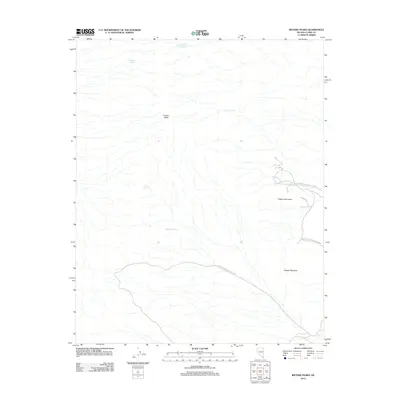
2012 Map of Ireteba Peaks
USGS Topo · Published 2012About this map
Ireteba Peaks dominates the high desert landscape of Clark County in this 2012 survey, serving as a prominent landmark in the arid terrain west of the Colorado River corridor. The map details a geography defined by isolated water sources and mining history, notably featuring the Francis Mining Claim Spring, which points to the region's legacy of mineral prospecting. The eastern portion of the quadrangle transition into the protected lands of the Lake Mead National Rec Area, where the topography rises toward Dupont Mountain and Copper Mountain. Several other dispersed water points, including Grasshopper Spring, Jonah Spring, Tip Top Spring, and Wesselhoff Spring, illustrate the critical importance of these rare hydrological features for both historical wildlife and early human activity in the Mojave Desert.
Find a feature on this map
9 named features on this map. Tap any name to fly to it.
Don’t see what you’re looking for? This feature index may not catch every label — zoom into the map to look around manually.
Map Details
Editions of this 2012 Ireteba Peaks Map
This is the sole edition of this map. No revisions or reprints were ever made.
Other maps of this area
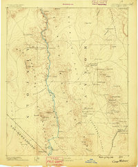
1886 · Camp Mohave
USGS Topo · 1:250,000
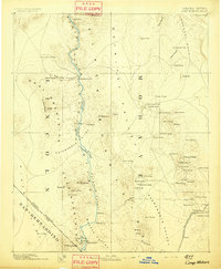
1892 · Camp Mohave
USGS Topo · 1:250,000
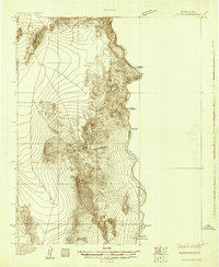
1926 · Nelson
USGS Topo · 1:96,000
1926 · Mohave City
USGS Topo · 1:96,000
1942 · Camp Mohave
USGS Topo · 1:250,000

1947 · Kingman
USGS Topo · 1:250,000

1948 · Kingman
USGS Topo · 1:250,000

1954 · Kingman
USGS Topo · 1:250,000

1955 · Kingman
USGS Topo · 1:250,000
1958 · Kingman
USGS Topo · 1:250,000