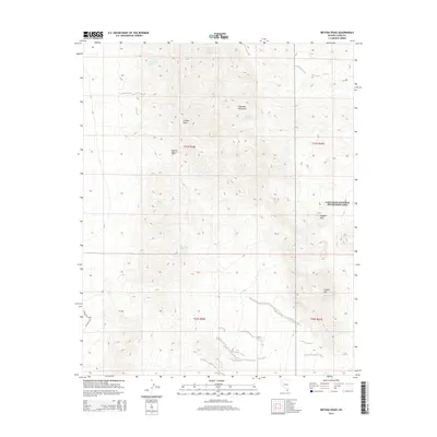
2014 Map of Ireteba Peaks
USGS Topo · Published 2014About this map
Ireteba Peaks and the northern Eldorado Mountains dominate this high-desert terrain within the Mojave Desert. The landscape is defined by its arid hydrology, marked by scattered water sources such as Grasshopper Spring, Jonah Spring, and Wesselhoff Spring. A history of prospecting is evident in labels like the Francis Mining Claim Spring near the northern boundary, while the eastern edge of the quadrangle reaches into the Lake Mead National Recreation Area. Higher elevations are punctuated by Dupont Mtn and Copper Mtn, with access provided by local routes including Grandpa's Rd and Copper Hill Rd. This topographic study preserves the naming conventions of remote Clark County, documenting the specific springs and peaks essential for navigating this section of the Nevada desert.
Find a feature on this map
17 named features on this map. Tap any name to fly to it.
Don’t see what you’re looking for? This feature index may not catch every label — zoom into the map to look around manually.
Map Details
Editions of this 2014 Ireteba Peaks Map
This is the sole edition of this map. No revisions or reprints were ever made.
Other maps of this area
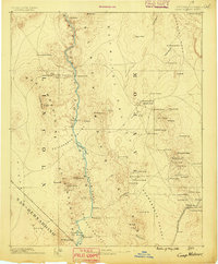
1886 · Camp Mohave
USGS Topo · 1:250,000
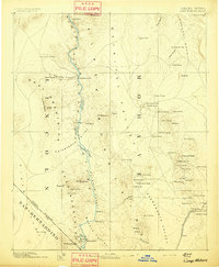
1892 · Camp Mohave
USGS Topo · 1:250,000
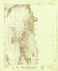
1926 · Nelson
USGS Topo · 1:96,000
1926 · Mohave City
USGS Topo · 1:96,000
1942 · Camp Mohave
USGS Topo · 1:250,000

1947 · Kingman
USGS Topo · 1:250,000

1948 · Kingman
USGS Topo · 1:250,000

1954 · Kingman
USGS Topo · 1:250,000

1955 · Kingman
USGS Topo · 1:250,000
1958 · Kingman
USGS Topo · 1:250,000