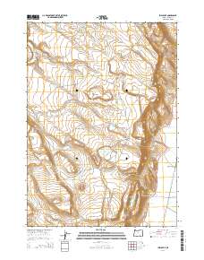
2014 Map of Irish Lake
USGS Topo · Published 2014About this map
Irish Lake and the surrounding high desert of Harney County are defined by a complex network of seasonal water sources and volcanic terrain. The landscape is dotted with unique geologic features such as Hole in the Ground and notable heights like Jackass Mtn and Jack Mtn. In the eastern portion of the map, the Blitzen Valley provides a stark contrast to the arid uplands, carved by the Donner und Blitzen River and supported by the Warm Springs Canal. This region's history of ranching and livestock management is evident in the specific nomenclature of the watering holes, ranging from the Bailey Waterhole to the Company Trough and John Cabin Spring. These names reflect a period where reliable water was the primary concern for anyone traversing or working this part of the Oregon desert.
Find a feature on this map
34 named features on this map. Tap any name to fly to it.
Don’t see what you’re looking for? This feature index may not catch every label — zoom into the map to look around manually.
Map Details
Editions of this 2014 Irish Lake Map
This is the sole edition of this map. No revisions or reprints were ever made.
Other maps of this area

1955 · Burns
USGS Topo · 1:250,000

1955 · Adel
USGS Topo · 1:250,000

1957 · Adel
USGS Topo · 1:250,000

1958 · Burns
USGS Topo · 1:250,000

1958 · Adel
USGS Topo · 1:250,000

1959 · Burns
USGS Topo · 1:250,000

1962 · Adel
USGS Topo · 1:250,000
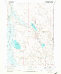
1967 · Krumbo Reservoir
USGS Topo · 1:24,000
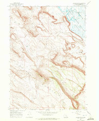
1967 · Jackass Butte
USGS Topo · 1:24,000
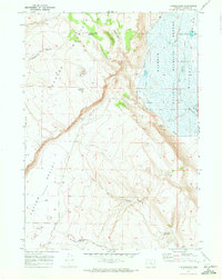
1967 · Frenchglen
USGS Topo · 1:24,000