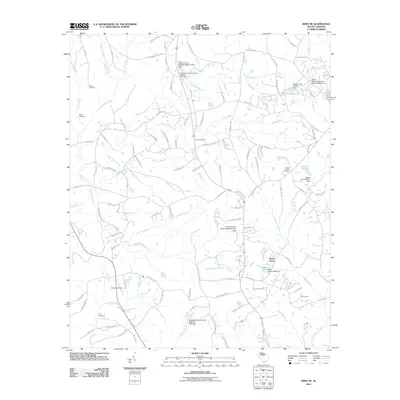
2011 Map of Irmo NE
USGS Topo · Published 2011About this map
Shiloh Cemetery and Wirick Cemetery sit among the northern headwaters of Little Cedar Creek, marking a landscape deeply rooted in local family history. This 2011 survey of the area near Green Acres reveals a complex network of residential roads like Tobacco Barn Rd and Old Birch Dr interspersed with numerous small impoundments. These water features, including Mullers Lake and Smith Pond, are defined by their specific engineering data, such as the Smiths Pond D-0541 Dam. The terrain is drained by a dense system of tributaries including Persimmon Fork and Nipper Creek, which flow through a mix of established residential clusters and wooded tracts. Researchers can trace the placement of community landmarks like Beulah Cemetery and Camp Dixon against the evolving suburban infrastructure of Richland County.
Find a feature on this map
121 named features on this map. Tap any name to fly to it.
Don’t see what you’re looking for? This feature index may not catch every label — zoom into the map to look around manually.
Map Details
Editions of this 2011 Irmo NE Map
This is the sole edition of this map. No revisions or reprints were ever made.
Other maps of this area

1904 · Columbia
USGS Topo · 1:125,000

1935 · Killian
USGS Topo · 1:48,000

1937 · Killian
USGS Topo · 1:62,500

1941 · Spartanburg
USGS Topo · 1:250,000

1942 · Camden
USGS Topo · 1:125,000

1946 · Irmo
USGS Topo · 1:24,000

1947 · Columbia North
USGS Topo · 1:24,000

1947 · Richtex
USGS Topo · 1:24,000

1948 · Irmo
USGS Topo · 1:24,000

1948 · Columbia North
USGS Topo · 1:24,000