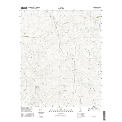
2017 Map of Irmo NE
USGS Topo · Published 2017About this map
Blythewood sits along the northeastern edge of this Richland County landscape, where the headwaters of numerous creeks begin their descent toward the Broad River basin. This 2017 survey details a transition from suburban expansion to the more rural, stream-carved terrain of the Fairfield Co and Richland Co border. The map is particularly rich for genealogical research, identifying numerous small family and community burial grounds including Shiloh Cem, Wirick Cem, Beulah Cem, and Piney Grove Cem.
Find a feature on this map
129 named features on this map. Tap any name to fly to it.
Don’t see what you’re looking for? This feature index may not catch every label — zoom into the map to look around manually.
Map Details
Editions of this 2017 Irmo NE Map
This is the sole edition of this map. No revisions or reprints were ever made.
Other maps of this area
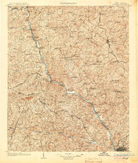
1904 · Columbia
USGS Topo · 1:125,000
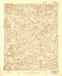
1935 · Killian
USGS Topo · 1:48,000
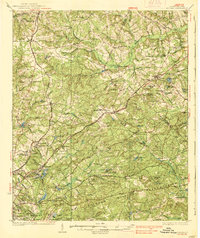
1937 · Killian
USGS Topo · 1:62,500
1941 · Spartanburg
USGS Topo · 1:250,000
1942 · Camden
USGS Topo · 1:125,000
1946 · Irmo
USGS Topo · 1:24,000
1947 · Columbia North
USGS Topo · 1:24,000
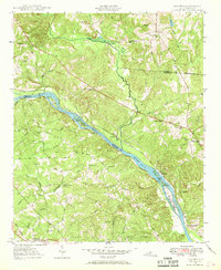
1947 · Richtex
USGS Topo · 1:24,000
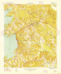
1948 · Irmo
USGS Topo · 1:24,000
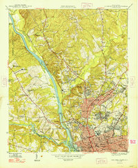
1948 · Columbia North
USGS Topo · 1:24,000