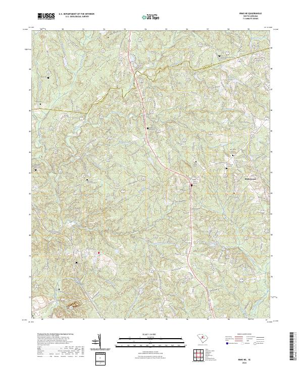
2024 Map of Irmo NE
USGS Topo · Published 2024About this map
Blythewood anchors the eastern edge of this Richland County landscape, where the rolling terrain is defined by the headwaters of numerous Piedmont streams. The area is characterized by a dense network of country roads like Syrup Mill Rd and Cedar Lakes Dr that connect long-standing community centers and family lands. Historical continuity is evident in the numerous small burial grounds and rural congregations that dot the map, including Pine Grove Community Church and the Mount Zion Church Graveyard.
Find a feature on this map
144 named features on this map. Tap any name to fly to it.
Don’t see what you’re looking for? This feature index may not catch every label — zoom into the map to look around manually.
Map Details
Editions of this 2024 Irmo NE Map
This is the sole edition of this map. No revisions or reprints were ever made.
Other maps of this area

1904 · Columbia
USGS Topo · 1:125,000

1935 · Killian
USGS Topo · 1:48,000

1937 · Killian
USGS Topo · 1:62,500

1941 · Spartanburg
USGS Topo · 1:250,000

1942 · Camden
USGS Topo · 1:125,000

1946 · Irmo
USGS Topo · 1:24,000

1947 · Columbia North
USGS Topo · 1:24,000

1947 · Richtex
USGS Topo · 1:24,000

1948 · Irmo
USGS Topo · 1:24,000

1948 · Columbia North
USGS Topo · 1:24,000