
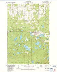
1984 Map of Iron Lake
USGS Topo · Published 1992About this map
The Iron River settlement serves as the hub of this lakeside landscape in the mid-1980s, where the convergence of old transportation routes and recreation areas defines the local economy. The town is marked by essential local history landmarks including the City Cem and proximity to the Oula Sch. Beyond the residential center, the map reveals a dense network of water bodies, including the prominent Iron Lake, Moon Lake, and the smaller Deep Lake, many of which feature primitive boat access points.
Find a feature on this map
73 named features on this map. Tap any name to fly to it.
Don’t see what you’re looking for? This feature index may not catch every label — zoom into the map to look around manually.
Map Details
Editions of this 1984 Iron Lake Map
2 editions found
Other maps of this area

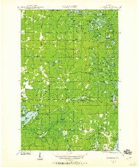
1943 · Iron Lake
USGS Topo · 1:48,000
1944 · Drummond
USGS Topo · 1:48,000

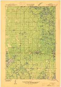
1945 · Highland
USGS Topo · 1:48,000
1947 · Drummond
USGS Topo · 1:48,000

1947 · Brule
USGS Topo · 1:48,000

1947 · Iron Lake
USGS Topo · 1:48,000

1949 · Highland
USGS Topo · 1:48,000

1953 · Ashland
USGS Topo · 1:250,000

1958 · Ashland
USGS Topo · 1:250,000

1961 · Iron Lake SW
USGS Topo · 1:24,000