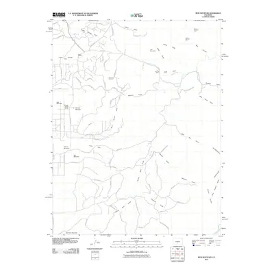
2010 Map of Iron Mountain
USGS Topo · Published 2010About this map
Iron Mountain Mine and the Green Mountain Mine sit atop the high ridges of Fremont County, marking a landscape defined by its mineral history and complex drainage systems. The terrain is a network of named gulches, including Black Gulch and Titusville Gulch, which feed into larger water bodies like Grape Creek. This 2010 survey illustrates the transition from resource extraction to modern land management, with legacy sites like the Brown Lava Lode Mine and Copper Girl Mine situated near developing residential infrastructure and forest access routes.
Find a feature on this map
79 named features on this map. Tap any name to fly to it.
Don’t see what you’re looking for? This feature index may not catch every label — zoom into the map to look around manually.
Map Details
Editions of this 2010 Iron Mountain Map
This is the sole edition of this map. No revisions or reprints were ever made.
Other maps of this area

1889 · Canon City
USGS Topo · 1:125,000

1892 · Canon City
USGS Topo · 1:125,000

1954 · Mount Tyndall
USGS Topo · 1:24,000

1954 · Pueblo
USGS Topo · 1:250,000

1955 · Westcliffe
USGS Topo · 1:24,000

1957 · Pueblo
USGS Topo · 1:250,000

1958 · Pueblo
USGS Topo · 1:250,000

1958 · Beckwith Mountain
USGS Topo · 1:24,000

1959 · Electric Peak
USGS Topo · 1:62,500

1959 · Royal Gorge
USGS Topo · 1:62,500