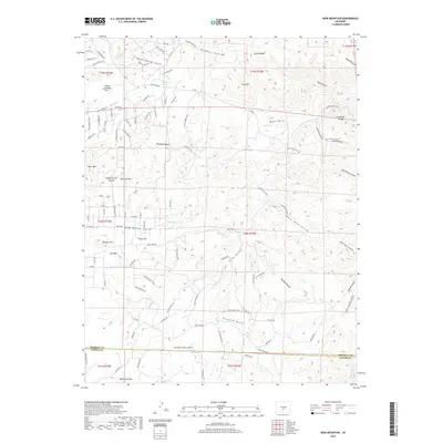
2019 Map of Iron Mountain
USGS Topo · Published 2019About this map
Cody Park and the settlement at Indian Springs Park anchor this high-elevation landscape along the border of Fremont Co and Custer Co. The terrain is defined by a dense network of gulches and ridges, including the prominent McClure Mtn and Oak Grove Mtn. A transition in topography is marked by the Copper Gulch Divide, where numerous drainages like McClure Gulch and Pine Gulch carve into the mountain slopes.
Find a feature on this map
114 named features on this map. Tap any name to fly to it.
Don’t see what you’re looking for? This feature index may not catch every label — zoom into the map to look around manually.
Map Details
Editions of this 2019 Iron Mountain Map
This is the sole edition of this map. No revisions or reprints were ever made.
Other maps of this area
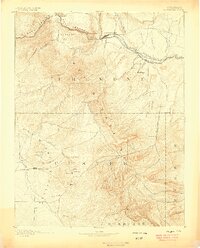
1889 · Canon City
USGS Topo · 1:125,000
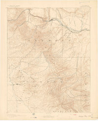
1892 · Canon City
USGS Topo · 1:125,000
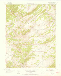
1954 · Mount Tyndall
USGS Topo · 1:24,000
1954 · Pueblo
USGS Topo · 1:250,000
1955 · Westcliffe
USGS Topo · 1:24,000
1957 · Pueblo
USGS Topo · 1:250,000
1958 · Pueblo
USGS Topo · 1:250,000
1958 · Beckwith Mountain
USGS Topo · 1:24,000
1959 · Electric Peak
USGS Topo · 1:62,500
1959 · Royal Gorge
USGS Topo · 1:62,500