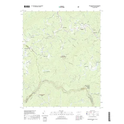
2019 Map of Iron Mountain Gap
USGS Topo · Published 2019About this map
Iron Mountain Gap stands at the heart of this high-elevation terrain along the Tennessee and North Carolina border. The landscape is defined by the winding course of the Appalachian National Scenic Trail, which traverses the ridge lines between Cherokee National Forest and Pisgah National Forest. Small mountain settlements like Tiger Valley, Tolley Town, and Clarketown are connected by a network of local routes such as Dave Simerly Rd and Tolley Town Rd, reflecting a long-standing pattern of ridge-and-valley habitation.
Find a feature on this map
127 named features on this map. Tap any name to fly to it.
Don’t see what you’re looking for? This feature index may not catch every label — zoom into the map to look around manually.
Map Details
Editions of this 2019 Iron Mountain Gap Map
This is the sole edition of this map. No revisions or reprints were ever made.
Other maps of this area

1891 · Roan Mountain
USGS Topo · 1:125,000

1894 · Roan Mountain
USGS Topo · 1:125,000

1904 · Roan Mountain
USGS Topo · 1:125,000

1934 · White Rocks Mtn
USGS Topo · 1:24,000

1934 · Bakersville
USGS Topo · 1:24,000

1934 · Iron Mtn Gap
USGS Topo · 1:24,000
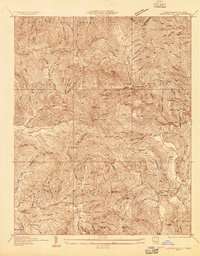
1934 · Carvers Gap
USGS Topo · 1:24,000

1935 · Watauga Valley
USGS Topo · 1:48,000

1935 · Huntdale
USGS Topo · 1:24,000

1935 · Elizabethton
USGS Topo · 1:24,000