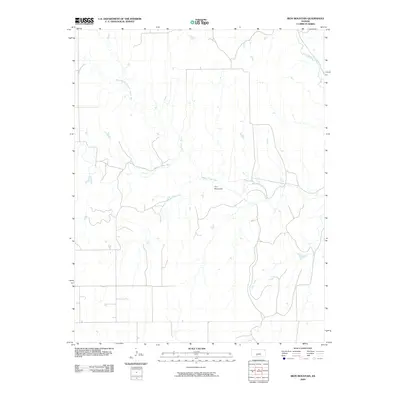
2009 Map of Iron Mountain
USGS Topo · Published 2009About this map
Iron Mountain rises above the rolling prairie of Kiowa County, serving as a prominent landmark in this rural landscape. The terrain is defined by the complex headwaters of the Medicine Lodge River, which branches into the North Branch Medicine Lodge River and the South Branch Medicine Lodge River as it carves through the central portion of the map. This 2009 survey highlights a sparsely populated area where natural drainages dictate the road patterns and land use. The map tracks the winding course of smaller tributaries like Otter Creek and Thompson Creek in the northeast, showing the transition between open range and the riparian corridors that have long supported ranching and agriculture in this part of Kansas. The lack of concentrated settlements emphasizes the enduring rural character of the township.
Find a feature on this map
6 named features on this map. Tap any name to fly to it.
Don’t see what you’re looking for? This feature index may not catch every label — zoom into the map to look around manually.
Map Details
Editions of this 2009 Iron Mountain Map
This is the sole edition of this map. No revisions or reprints were ever made.
Other maps of this area

1889 · Kinsley
USGS Topo · 1:125,000

1892 · Kinsley
USGS Topo · 1:125,000

1892 · Coldwater
USGS Topo · 1:125,000

1894 · Kinsley
USGS Topo · 1:125,000

1955 · Pratt
USGS Topo · 1:250,000

1959 · Pratt
USGS Topo · 1:250,000

1968 · Wilmore SE
USGS Topo · 1:24,000

1968 · Belvidere
USGS Topo · 1:24,000

1968 · Haviland
USGS Topo · 1:24,000

1968 · Brenham
USGS Topo · 1:24,000