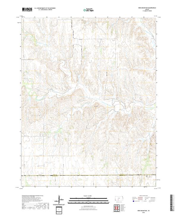
2022 Map of Iron Mountain
USGS Topo · Published 2022About this map
Iron Mtn rises as a subtle landmark in this section of Kiowa and Comanche Counties, where the headwaters of the Medicine Lodge River system carve through the Kansas plains. The drainage pattern is the defining characteristic of this landscape, featuring the N Br Medicine Lodge River and S Br Medicine Lodge River which converge as they move east across the quadrangle. This 2022 survey captures the modern rural infrastructure of the region, defined by a strict grid of section-line roads such as KC Av 35 and KC X ST. The boundary between Kiowa and Comanche Counties is clearly delineated along the southern edge, illustrating the systematic land division of the High Plains. Smaller tributaries like Thompson Cr, Otter Cr, and Spring Cr branch away from the main river valley, marking the seasonal watercourses that have shaped the local topography.
Find a feature on this map
28 named features on this map. Tap any name to fly to it.
Don’t see what you’re looking for? This feature index may not catch every label — zoom into the map to look around manually.
Map Details
Editions of this 2022 Iron Mountain Map
This is the sole edition of this map. No revisions or reprints were ever made.
Other maps of this area

1889 · Kinsley
USGS Topo · 1:125,000

1892 · Kinsley
USGS Topo · 1:125,000

1892 · Coldwater
USGS Topo · 1:125,000

1894 · Kinsley
USGS Topo · 1:125,000

1955 · Pratt
USGS Topo · 1:250,000

1959 · Pratt
USGS Topo · 1:250,000

1968 · Wilmore SE
USGS Topo · 1:24,000

1968 · Belvidere
USGS Topo · 1:24,000

1968 · Haviland
USGS Topo · 1:24,000

1968 · Brenham
USGS Topo · 1:24,000