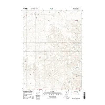
2015 Map of Iron Shell Flat East
USGS Topo · Published 2015About this map
Iron Shell Flat defines the high plateau of this Todd County landscape, where the drainage systems of the Rosebud region carve deep relief into the terrain. The southeastern corner is dominated by the winding course of the Little White River, which is crossed by the Valandra Bridge at a key transit point near River Rd. This area is characterized by dramatic elevation changes, most notably at Crazy Horse Canyon, where the land drops away from the flats into complex draws and breaks.
Find a feature on this map
18 named features on this map. Tap any name to fly to it.
Don’t see what you’re looking for? This feature index may not catch every label — zoom into the map to look around manually.
Map Details
Editions of this 2015 Iron Shell Flat East Map
This is the sole edition of this map. No revisions or reprints were ever made.
Other maps of this area

1955 · Martin
USGS Topo · 1:250,000

1958 · Martin
USGS Topo · 1:250,000

1969 · Eagle Mans Butte
USGS Topo · 1:24,000

1969 · Soldier Creek
USGS Topo · 1:24,000

1969 · Parmelee
USGS Topo · 1:24,000

1969 · Iron Shell Flat East
USGS Topo · 1:24,000

1969 · Spring Creek SW
USGS Topo · 1:24,000

1969 · Iron Shell Flat West
USGS Topo · 1:24,000

1969 · Spring Creek
USGS Topo · 1:24,000

1969 · St. Francis SW
USGS Topo · 1:24,000
Featured Places
- Upper Cut Meat, Upper Cut Meat Segment
- Grass Mountain Segment, SD
- He Dog, SD
- Spring Creek Segment, SD
- Upper Cut Meat Segment, SD