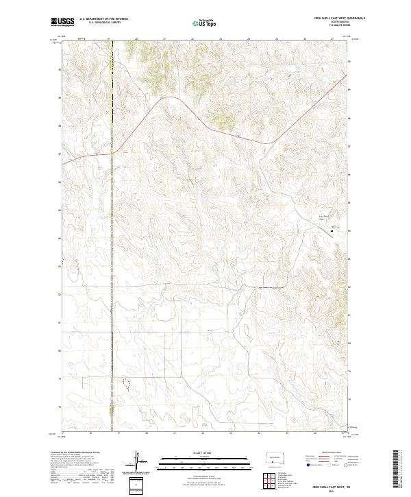
2021 Map of Iron Shell Flat West
USGS Topo · Published 2021About this map
Iron Shell Flat defines the upper elevations of this terrain in Todd County, where the landscape is carved by several distinct watercourses. Drainage patterns are dominated by the winding paths of Cut Meat Cr in the north and the southeastern flow of Running Enemy Cr, with Coffee Cr moving through the central valley. These natural features shaped the early settlement patterns and ranching boundaries of the region.
Find a feature on this map
13 named features on this map. Tap any name to fly to it.
Don’t see what you’re looking for? This feature index may not catch every label — zoom into the map to look around manually.
Map Details
Editions of this 2021 Iron Shell Flat West Map
This is the sole edition of this map. No revisions or reprints were ever made.
Other maps of this area

1955 · Martin
USGS Topo · 1:250,000

1958 · Martin
USGS Topo · 1:250,000

1969 · Eagle Mans Butte
USGS Topo · 1:24,000

1969 · Parmelee
USGS Topo · 1:24,000

1969 · Iron Shell Flat East
USGS Topo · 1:24,000

1969 · Spring Creek SW
USGS Topo · 1:24,000

1969 · Iron Shell Flat West
USGS Topo · 1:24,000

1969 · Spring Creek
USGS Topo · 1:24,000

1981 · Blackpipe
USGS Topo · 1:25,000

1981 · Scotchman Lake
USGS Topo · 1:25,000