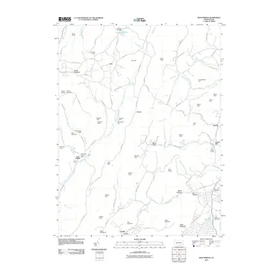
2010 Map of Iron Springs
USGS Topo · Published 2010About this map
Iron Springs and the surrounding highlands of South Mountain define this Pennsylvania landscape, where early industry and recreation overlap. The legacy of the regional iron trade is visible at Maria Furnace and Old Forge, while the community of Gladhill is anchored by the Greenstone Post Office. Higher elevations are marked by the Snowy Mountain Fire Tower and distinctive geological features like Chimney Rocks and Wildcat Rocks. The map documents a terrain carved by numerous waterways, including Toms Creek, Middle Creek, and the East Branch Antietam Creek, which is dammed at the Antietam Dam. Local history is further preserved in sites like the Strang Cemetery and the Old Forge Picnic Area near Camp Penn, illustrating a transition from industrial exploitation to a landscape dominated by conservation and quiet residential pockets like Virginia Mills.
Find a feature on this map
108 named features on this map. Tap any name to fly to it.
Don’t see what you’re looking for? This feature index may not catch every label — zoom into the map to look around manually.
Map Details
Editions of this 2010 Iron Springs Map
This is the sole edition of this map. No revisions or reprints were ever made.
Other maps of this area

1902 · Chambersburg
USGS Topo · 1:62,500

1909 · Fairfield
USGS Topo · 1:62,500

1909 · Hagerstown
USGS Topo · 1:48,000

1911 · Emmitsburg
USGS Topo · 1:62,500

1912 · Hagerstown
USGS Topo · 1:62,500

1942 · Hagerstown
USGS Topo · 1:125,000

1942 · Gettysburg
USGS Topo · 1:125,000

1943 · Emmitsburg
USGS Topo · 1:62,500

1943 · Hagerstown
USGS Topo · 1:125,000

1943 · Chambersburg
USGS Topo · 1:62,500
Featured Places
- Quincy Township, PA
- Guilford Township, PA
- Hamiltonban Township, PA
- Washington Township, PA
- Gladhill (Greenstone P.O.), Hamiltonban Township