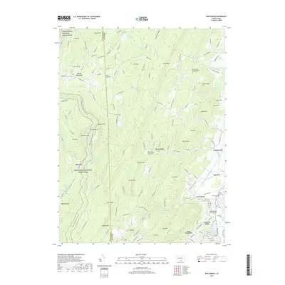
2019 Map of Iron Springs
USGS Topo · Published 2019About this map
The Appalachian National Scenic Trail winds through the forested ridges of the South Mountain range, crossing from South Mountain toward the historic landmarks of Adams and Franklin counties. This 2019 survey captures a landscape defined by significant elevation changes, with Chimney Rocks and Monument Rock overlooking the Waynesboro Reservoir. The area is characterized by scattered mountain settlements and recreational access points along the Franklin and Adams county line.
Find a feature on this map
159 named features on this map. Tap any name to fly to it.
Don’t see what you’re looking for? This feature index may not catch every label — zoom into the map to look around manually.
Map Details
Editions of this 2019 Iron Springs Map
This is the sole edition of this map. No revisions or reprints were ever made.
Other maps of this area

1902 · Chambersburg
USGS Topo · 1:62,500

1909 · Fairfield
USGS Topo · 1:62,500

1909 · Hagerstown
USGS Topo · 1:48,000

1911 · Emmitsburg
USGS Topo · 1:62,500

1912 · Hagerstown
USGS Topo · 1:62,500

1942 · Hagerstown
USGS Topo · 1:125,000

1942 · Gettysburg
USGS Topo · 1:125,000

1943 · Emmitsburg
USGS Topo · 1:62,500

1943 · Hagerstown
USGS Topo · 1:125,000

1943 · Chambersburg
USGS Topo · 1:62,500
Featured Places
- Quincy Township, PA
- Guilford Township, PA
- Hamiltonban Township, PA
- Washington Township, PA
- Gladhill (Greenstone P.O.), Hamiltonban Township