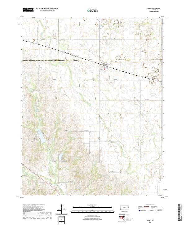
2022 Map of Isabel
USGS Topo · Published 2022About this map
The small settlement of Isabel sits just below the Pratt Co Barber Co boundary, organized around a grid of streets including Main St, Santa Fe Ave, and Ethel Ave. This 2022 survey illustrates the agrarian character of the Kansas landscape, where the town serves as a local hub amidst a vast network of section-line roads like Falcon Rd and Isabel Rd. The area is drained by a dendritic system of waterways, most notably Sand Creek and Amber Creek, which carve gentle relief into the prairie. Genealogists and local historians will find the location of the Isabel Cem south of the main town site particularly useful for tracing family roots in this corner of Barber County. The road names, ranging from functional designations like SE 110th St to more descriptive identifiers like NW Totem Pole, reflect the evolution of rural addressing and local geography.
Find a feature on this map
52 named features on this map. Tap any name to fly to it.
Don’t see what you’re looking for? This feature index may not catch every label — zoom into the map to look around manually.
Map Details
Editions of this 2022 Isabel Map
This is the sole edition of this map. No revisions or reprints were ever made.
Other maps of this area

1889 · Anthony
USGS Topo · 1:125,000

1891 · Medicine Lodge
USGS Topo · 1:125,000

1891 · Anthony
USGS Topo · 1:125,000

1892 · Kingman
USGS Topo · 1:125,000

1892 · Pratt
USGS Topo · 1:125,000

1893 · Medicine Lodge
USGS Topo · 1:125,000

1894 · Kingman
USGS Topo · 1:125,000

1894 · Pratt
USGS Topo · 1:125,000

1955 · Pratt
USGS Topo · 1:250,000

1959 · Pratt
USGS Topo · 1:250,000