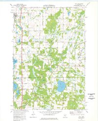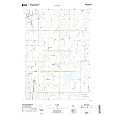
1955 Map of Isanti
USGS Topo · Published 1967About this map
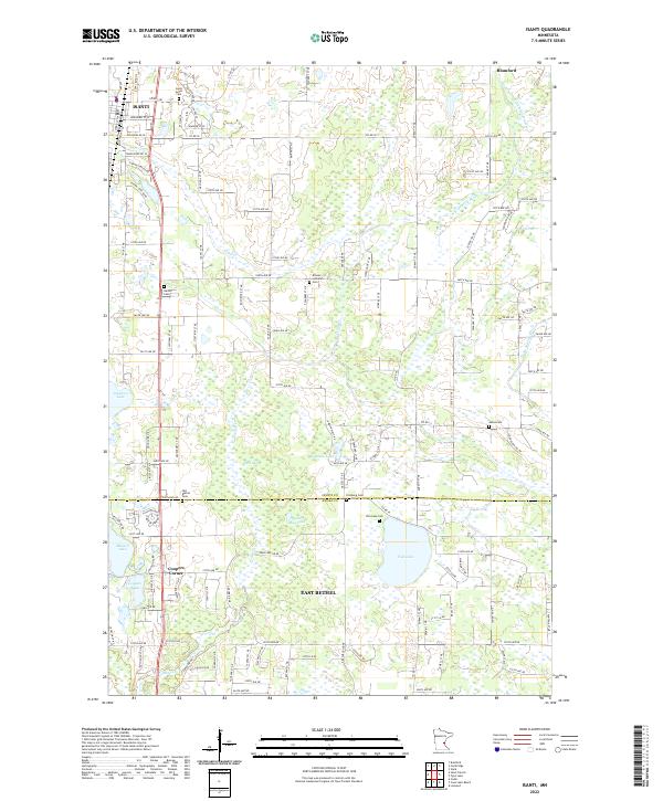
Coon Lake Beach and the surrounding marshlands of east-central Minnesota define this mid-century landscape, dominated by the expansive Carlos Avery State Game Refuge and Public Hunting Grounds. The map reveals a transition from the agricultural plateaus of Isanti and Oxford townships to the lake-studded terrain of Linwood and Ham Lake. A high density of rural schoolhouses, such as Lake Netta Sch and the already Crooked Brook Sch (Abandoned), provides evidence of a shifting rural population and the consolidation of earlier settlement patterns.
Find a feature on this map
95 named features on this map. Tap any name to fly to it.
Don’t see what you’re looking for? This feature index may not catch every label — zoom into the map to look around manually.
Map Details
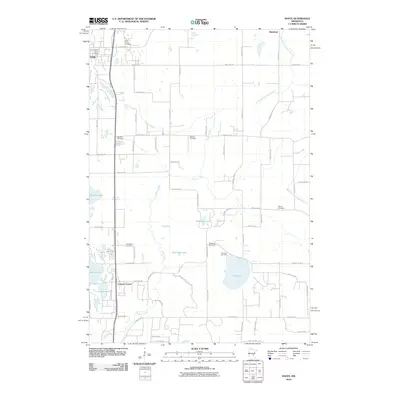
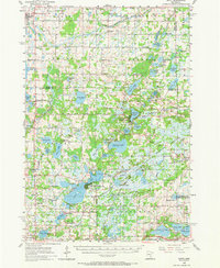
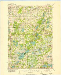
Editions of this 1955 Isanti Map
2 editions found
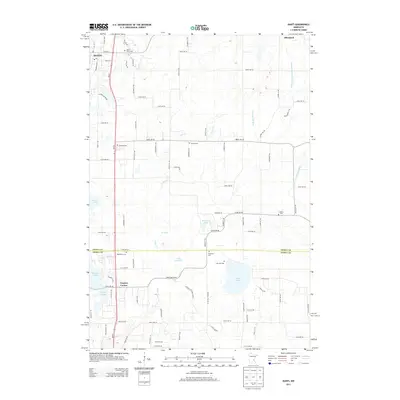
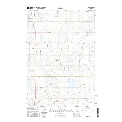
Historical Maps of Ham Lake Through Time
7 maps found