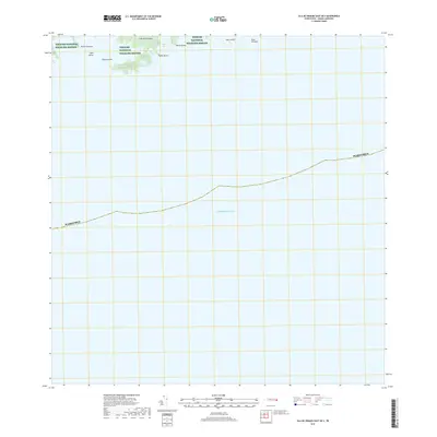
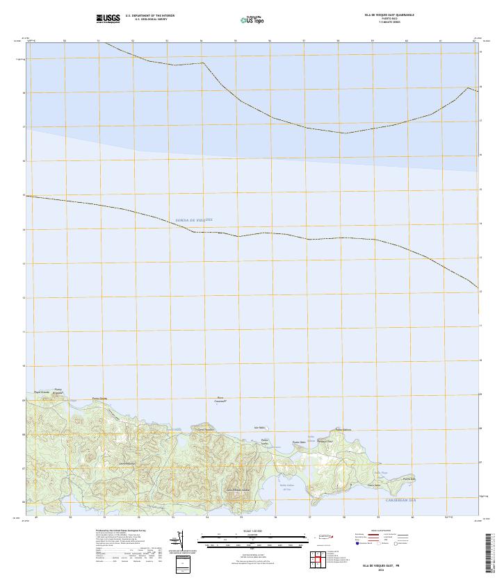
2018 Map of Isla De Vieques East OE S
USGS Topo · Published 2018About this map
Vieques National Wildlife Refuge dominates the northern coast of this maritime survey, illustrating the protected character of eastern Isla de Vieques. The map details a complex shoreline where the Caribbean Sea meets numerous inlets and bays, including Bahía Jalova, Bahía Yoye, and Bahía Fanduca. Small coastal islands and rocky outcrops like Cayo Conejo, Cayo Jalova, and Roca Alcatraz are documented, highlighting the navigational hazards and ecological features of the archipelago. The absence of development reflects the conservation status of this land, with natural markers like Caño Cruz and Punta Carenero serving as the primary landmarks for this stretch of the Puerto Rico coastline.
Find a feature on this map
15 named features on this map. Tap any name to fly to it.
Don’t see what you’re looking for? This feature index may not catch every label — zoom into the map to look around manually.
Map Details
Editions of this 2018 Isla De Vieques East OE S Map
This is the sole edition of this map. No revisions or reprints were ever made.
Other maps of this area

1943 · Island Of Vieques
USGS Topo · 1:30,000

1951 · Island Of Vieques
USGS Topo · 1:30,000
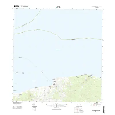
2013 · Isla De Vieques Central
USGS Topo · 1:20,000
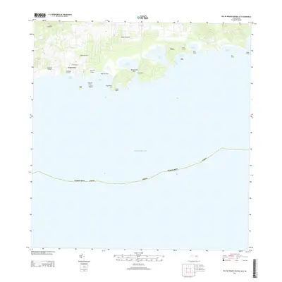
2013 · Isla De Vieques Central OE S
USGS Topo · 1:20,000
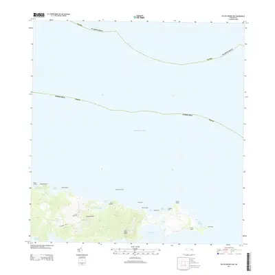
2013 · Isla De Vieques East
USGS Topo · 1:20,000
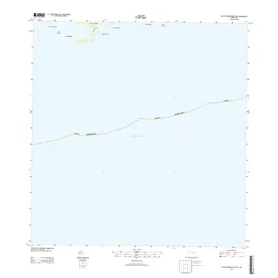
2013 · Isla De Vieques East OE S
USGS Topo · 1:20,000
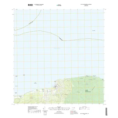
2018 · Isla De Vieques Central
USGS Topo · 1:20,000
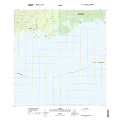
2018 · Isla De Vieques Central OE S
USGS Topo · 1:20,000
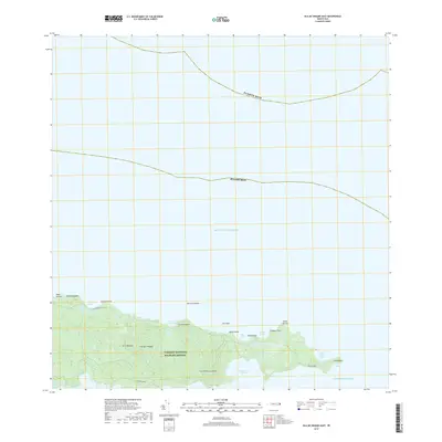
2018 · Isla De Vieques East
USGS Topo · 1:20,000
2024 · Isla De Vieques East
USGS Topo · 1:20,000