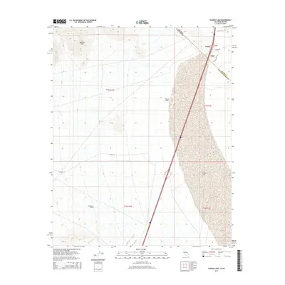
2015 Map of Ivanpah Lake
USGS Topo · Published 2015About this map
Primm sits as a distinct waypoint along the Interstate 15 corridor, marking the precise boundary where the Nevada California state line intersects the arid expanse of the Ivanpah Valley. This landscape is dominated by the vast dry bed of Ivanpah Lake, a stark geological feature that emphasizes the basin-and-range topography of the region. To the west, the foothills of the Clark Mountain Range rise sharply, cut by drainages like Antimony Gulch. The infrastructure here reflects a modern desert economy, centered on the commerce and thoroughfares of E Primm Blvd and Fashion Outlet Way. To the northeast, the terrain ascends toward McCullough Pass, providing a window into the transition between the high desert floor and the surrounding mountain heights within the Mojave Desert.
Find a feature on this map
12 named features on this map. Tap any name to fly to it.
Don’t see what you’re looking for? This feature index may not catch every label — zoom into the map to look around manually.
Map Details
Editions of this 2015 Ivanpah Lake Map
This is the sole edition of this map. No revisions or reprints were ever made.
Other maps of this area

1910 · Ivanpah
USGS Topo · 1:250,000

1912 · Ivanpah
USGS Topo · 1:250,000

1942 · Ivanpah
USGS Topo · 1:250,000

1947 · Kingman
USGS Topo · 1:250,000

1948 · Kingman
USGS Topo · 1:250,000

1954 · Kingman
USGS Topo · 1:250,000

1955 · Kingman
USGS Topo · 1:250,000

1955 · Mescal Range
USGS Topo · 1:62,500

1955 · Roach Lake
USGS Topo · 1:62,500

1956 · Ivanpah
USGS Topo · 1:62,500