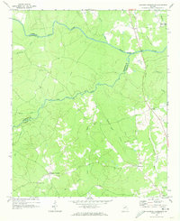
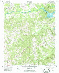
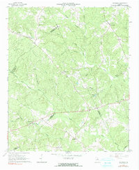
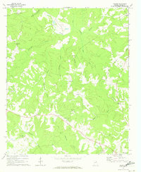
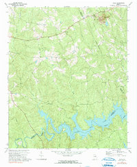
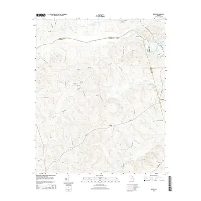
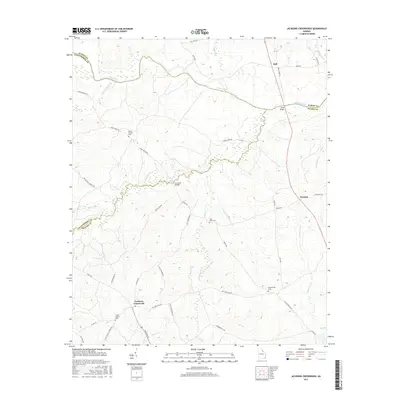
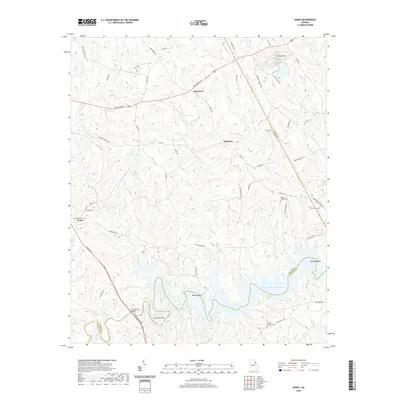
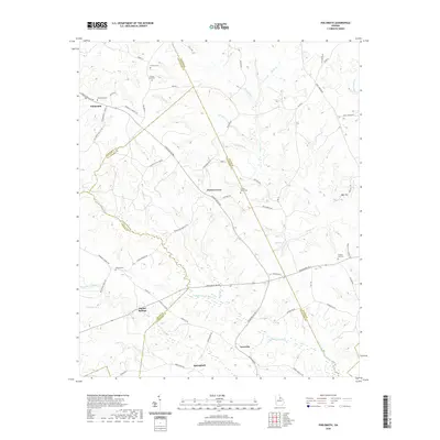
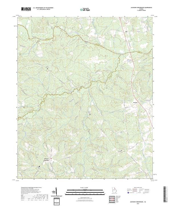
1970 Map of Jacksons Crossroads
USGS Topo · Published 1973About this map
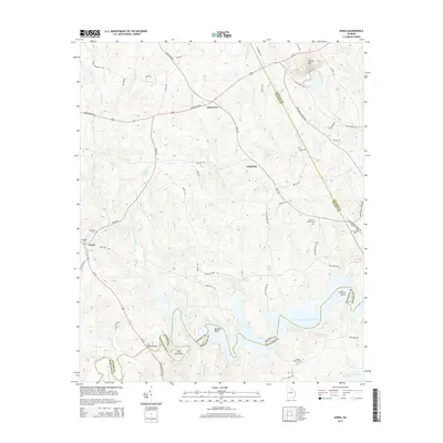
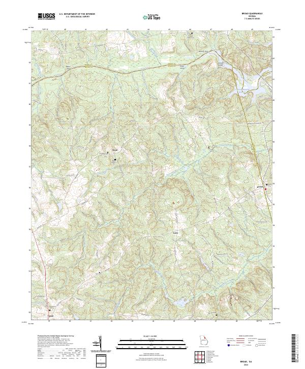
The Broad River defines the northern reaches of this rural landscape, serving as the border between Elbert and Oglethorpe counties. Near the confluence of Wahachee Creek and the river, Nancy Hart State Park preserves the history of the Georgia frontier. The terrain is deeply etched by a network of waterways including Goosepond Creek, Long Creek, and Macks Creek, which feed into the larger river system.
Find a feature on this map
26 named features on this map. Tap any name to fly to it.
Don’t see what you’re looking for? This feature index may not catch every label — zoom into the map to look around manually.
Map Details
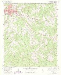
Editions of this 1970 Jacksons Crossroads Map
This is the sole edition of this map. No revisions or reprints were ever made.
Historical Maps of Tignall Through Time
43 maps found
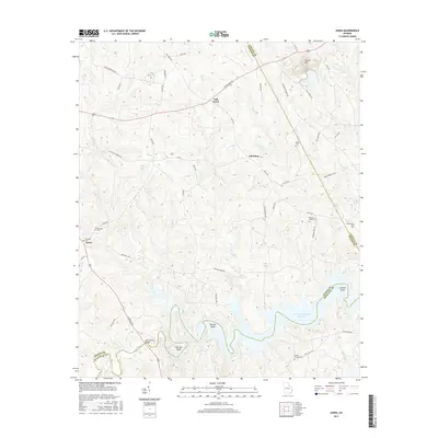
1955 Broad
Wilkes County, GA
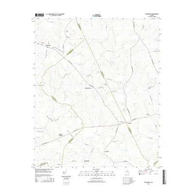
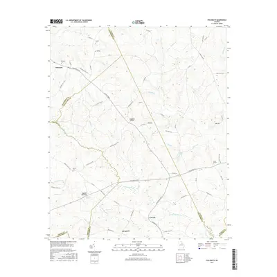
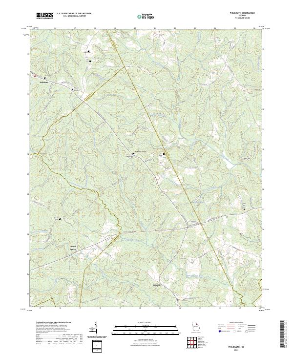
1966 Philomath
Wilkes County, GA
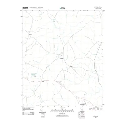
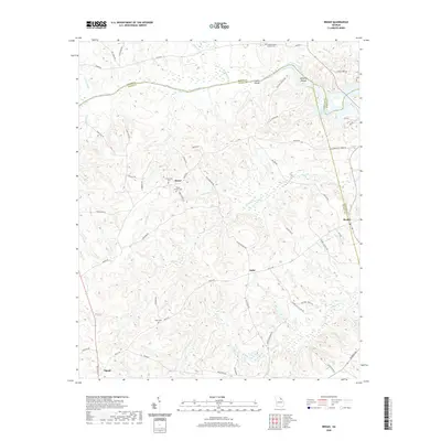
1970 Jacksons Crossroads
Wilkes County, GA
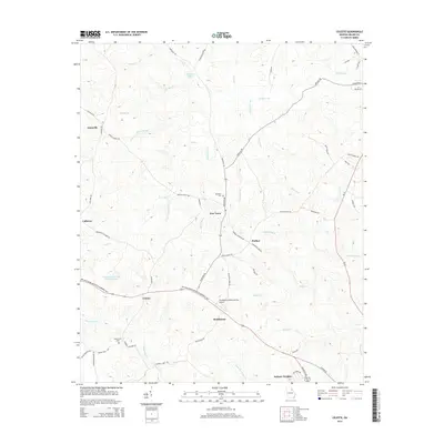
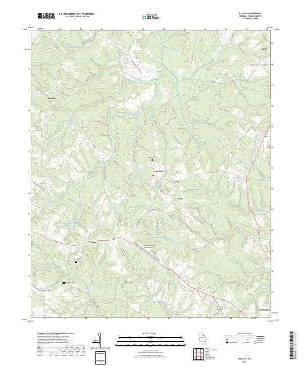
1971 Celeste
Wilkes County, GA
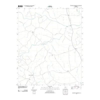
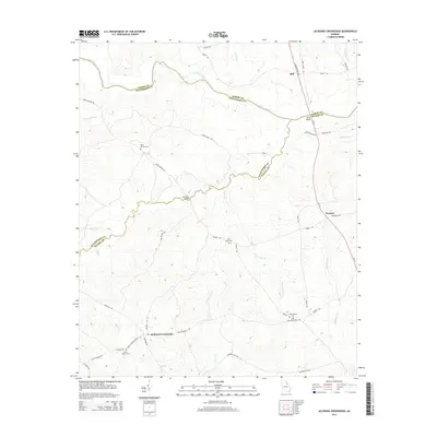
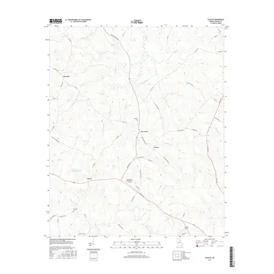
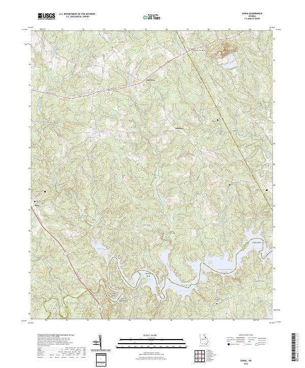
1972 Aonia
Wilkes County, GA
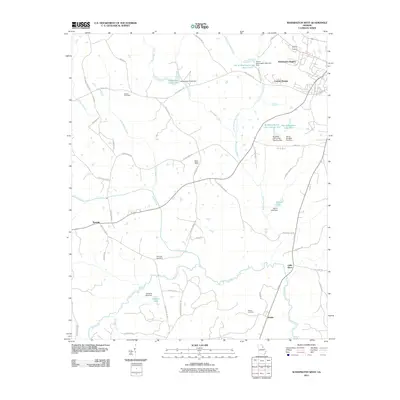
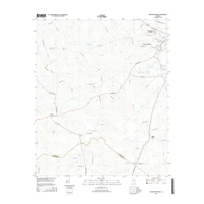
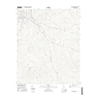
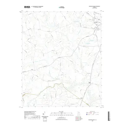
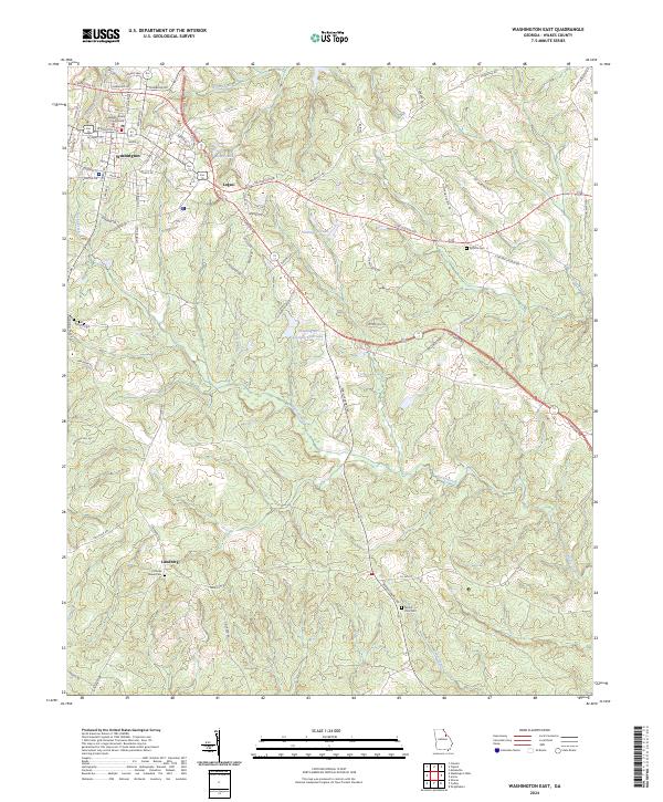
1972 Washington East
Wilkes County, GA
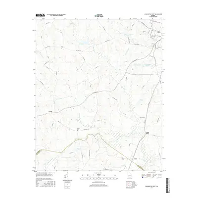
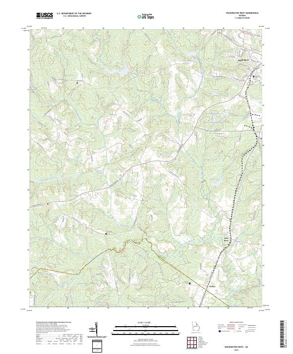
1972 Washington West
Wilkes County, GA

1980 Clark Hill Lake
Wilkes County, GA

2011 Aonia
Wilkes County, GA
2011 Broad
Wilkes County, GA
2011 Celeste
Wilkes County, GA
2011 Jacksons Crossroads
Wilkes County, GA

2011 Philomath
Wilkes County, GA

2011 Washington East
Wilkes County, GA
2011 Washington West
Wilkes County, GA
2014 Aonia
Wilkes County, GA
2014 Broad
Wilkes County, GA
2014 Celeste
Wilkes County, GA
2014 Jacksons Crossroads
Wilkes County, GA
2014 Philomath
Wilkes County, GA

2014 Washington East
Wilkes County, GA
2014 Washington West
Wilkes County, GA
2017 Aonia
Wilkes County, GA
2017 Broad
Wilkes County, GA
2017 Celeste
Wilkes County, GA
2017 Jacksons Crossroads
Wilkes County, GA
2017 Philomath
Wilkes County, GA
2017 Washington East
Wilkes County, GA
2017 Washington West
Wilkes County, GA
2020 Aonia
Wilkes County, GA
2020 Broad
Wilkes County, GA
2020 Celeste
Wilkes County, GA
2020 Jacksons Crossroads
Wilkes County, GA
2020 Philomath
Wilkes County, GA

2020 Washington East
Wilkes County, GA
2020 Washington West
Wilkes County, GA
2024 Aonia
Wilkes County, GA
2024 Broad
Wilkes County, GA
2024 Celeste
Wilkes County, GA
2024 Jacksons Crossroads
Wilkes County, GA
2024 Philomath
Wilkes County, GA
2024 Washington East
Wilkes County, GA
2024 Washington West
Wilkes County, GA