Loading...
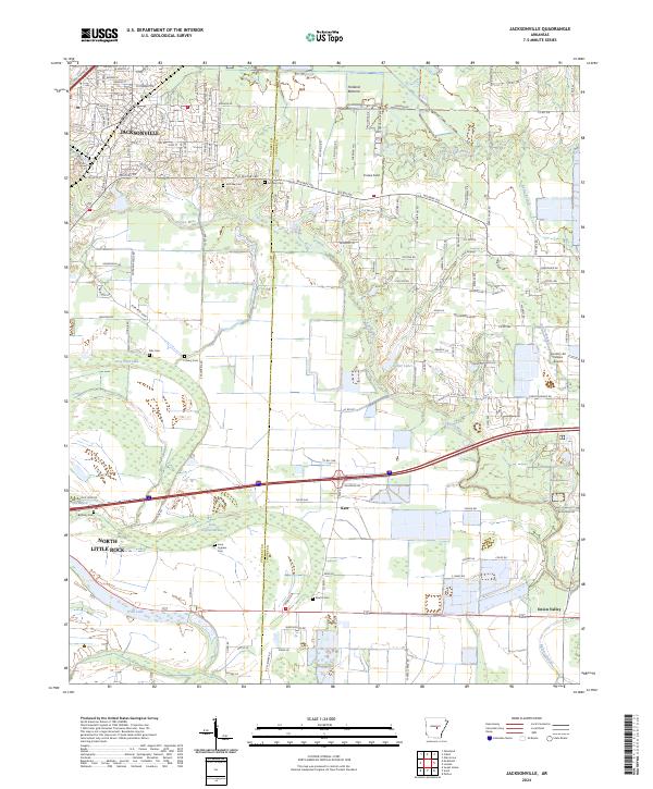
Loading map...2024 Map of Jacksonville
USGS Topo · Published 2024About this map
Jacksonville and the surrounding Arkansas landscape are defined by the winding course of Bayou Meto and the lowlands of Holland Bottoms. This 2024 survey captures a sophisticated intersection of suburban growth and traditional rural geography along the Pulaski and Lonoke county line. The map reveals a dense network of family and community history through its numerous burial grounds, including McCraw Cem, Johnson Cem, and Lone Cypress Cem.
Find a feature on this map
154 named features on this map. Tap any name to fly to it.
Don’t see what you’re looking for? This feature index may not catch every label — zoom into the map to look around manually.
Map Details
Date Portrayed2024
Date Published2024
PublisherU.S. Geological Survey
Map TypeTopographic
Scale1:24000
Physical Dimensions24 x 29 inches
Editions of this 2024 Jacksonville Map
This is the sole edition of this map. No revisions or reprints were ever made.
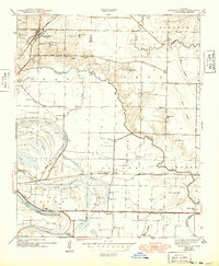
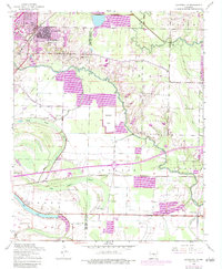
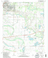
Historical Maps of Jacksonville Through Time
4 maps found
Featured Locations
Source Details
SourceU.S. Geological Survey
CopyrightPublic Domain