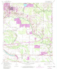
1954 Map of Jacksonville
USGS Topo · Published 1984About this map
The expanding town of Jacksonville sits at the edge of the Bayou Meto basin in this mid-century survey, which reveals the transition from early urban development to the surrounding agricultural bottomlands. The landscape is defined by its complex drainage network, where Ink Bayou and Bakers Bayou meander through the low-lying terrain of Pulaski and Lonoke counties. Photorevisions from the 1970s show the growth of Jacksonville reaching toward Bayou Meto, while rural life remains centered around isolated landmarks like South Bend Church and Mt Ararat Church. The Chicago Rock Island and Pacific railroad cuts a straight line through the southern portion of the sheet, passing the small siding at Kerr. Several family and community burying grounds, including Johnson Cemetery and Lone Cypress Cemetery, are preserved among the woods and fields.
Find a feature on this map
36 named features on this map. Tap any name to fly to it.
Don’t see what you’re looking for? This feature index may not catch every label — zoom into the map to look around manually.
Map Details
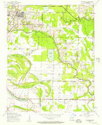
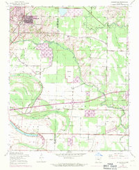
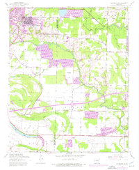
Editions of this 1954 Jacksonville Map
4 editions found
Other maps of this area

1891 · Little Rock
USGS Topo · 1:125,000

1893 · Little Rock
USGS Topo · 1:125,000

1935 · Mc Almont
USGS Topo · 1:24,000

1935 · Sweet Home
USGS Topo · 1:24,000

1937 · England
USGS Topo · 1:48,000

1940 · Lonoke
USGS Topo · 1:62,500

1941 · Olmstead
USGS Topo · 1:31,680

1941 · Cabot
USGS Topo · 1:31,680

1942 · Scott
USGS Topo · 1:31,680

1943 · England
USGS Topo · 1:62,500