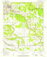
1954 Map of Jacksonville
USGS Topo · Published 1957About this map
Jacksonville sits at the northwestern edge of this mid-century landscape, where the rising suburban development of the post-war era meets the winding drainages of the Bayou Meto basin. The area is defined by a intricate network of waterways and lowlands, including Lone Cypress Brake, Hill Lake, and the engineered expanse of Shuffield Lake. Transportation patterns of the era are clearly visible, with the Chicago Rock Island and Pacific railroad bisecting the terrain and the historic Old Military Road cutting across the northern reaches. For genealogists and local historians, the sheet is exceptionally detailed in its placement of rural community anchors. Numerous churches such as South Bend Church and St Paul Church are noted, alongside family-named sites like McGraw Cemetery and Ellis Cemetery. The presence of several ruins and the Drive-in Theater reflects the shifting cultural and physical landscape of central Arkansas during the 1950s.
Find a feature on this map
41 named features on this map. Tap any name to fly to it.
Don’t see what you’re looking for? This feature index may not catch every label — zoom into the map to look around manually.
Map Details
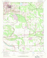
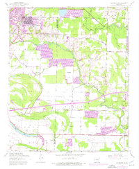
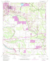
Editions of this 1954 Jacksonville Map
4 editions found
Other maps of this area

1891 · Little Rock
USGS Topo · 1:125,000

1893 · Little Rock
USGS Topo · 1:125,000

1935 · Mc Almont
USGS Topo · 1:24,000

1935 · Sweet Home
USGS Topo · 1:24,000

1937 · England
USGS Topo · 1:48,000

1940 · Lonoke
USGS Topo · 1:62,500

1941 · Olmstead
USGS Topo · 1:31,680

1941 · Cabot
USGS Topo · 1:31,680

1942 · Scott
USGS Topo · 1:31,680

1943 · England
USGS Topo · 1:62,500