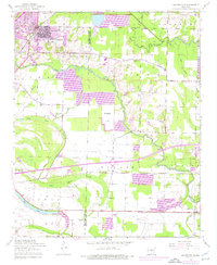
1954 Map of Jacksonville
USGS Topo · Published 1976About this map
Jacksonville sits at the northern edge of this landscape, showing its mid-century footprint alongside the Drive-in Theater and Mt Pisgah Church. The terrain is defined by the winding course of Bayou Meto and Two Prairie Bayou, where the land transitions from the developed outskirts into the low-lying wetlands of Cypress Brake and Forty Point Lake. This survey captures a moment of suburban expansion, with later revisions in purple marking the growth of residential areas and the footprint of a Trailer Park.
Find a feature on this map
40 named features on this map. Tap any name to fly to it.
Don’t see what you’re looking for? This feature index may not catch every label — zoom into the map to look around manually.
Map Details
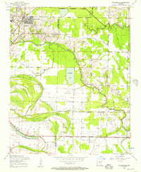
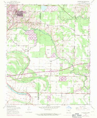
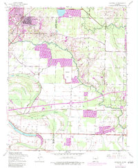
Editions of this 1954 Jacksonville Map
4 editions found
Other maps of this area

1891 · Little Rock
USGS Topo · 1:125,000

1893 · Little Rock
USGS Topo · 1:125,000

1935 · Mc Almont
USGS Topo · 1:24,000

1935 · Sweet Home
USGS Topo · 1:24,000

1937 · England
USGS Topo · 1:48,000

1940 · Lonoke
USGS Topo · 1:62,500

1941 · Olmstead
USGS Topo · 1:31,680

1941 · Cabot
USGS Topo · 1:31,680

1942 · Scott
USGS Topo · 1:31,680

1943 · England
USGS Topo · 1:62,500