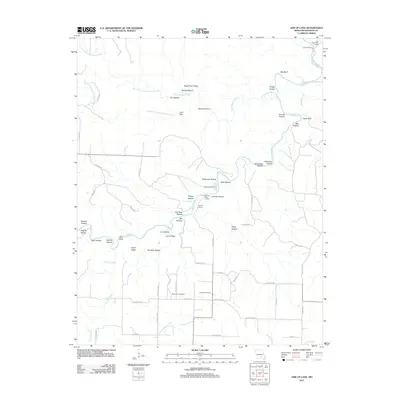
2011 Map of Jam Up Cave
USGS Topo · Published 2011About this map
Jacks Fork snakes through the center of this Missouri Ozarks landscape, carving a deep corridor defined by prominent landmarks like Bee Bluff and Chalk Bluff. This 2011 survey illustrates a region where water and relief dictate the pattern of human activity, from the river access points at Bay Creek River Access and Rymers River Access to the working landscapes of Bunker Hill Ranch and Rymer Ranch. The upland areas are dissected by numerous named hollows, including Stillhouse Hollow and Fly Blow Hollow, while ridges like Angel Ridge and Jenny Ridge provide natural traversals between the drainage basins.
Find a feature on this map
67 named features on this map. Tap any name to fly to it.
Don’t see what you’re looking for? This feature index may not catch every label — zoom into the map to look around manually.
Map Details
Editions of this 2011 Jam Up Cave Map
This is the sole edition of this map. No revisions or reprints were ever made.
Other maps of this area

1915 · Eminence
USGS Topo · 1:62,500

1917 · Eminence
USGS Topo · 1:62,500

1931 · Bandyville
USGS Topo · 1:48,000

1944 · Birch Tree
USGS Topo · 1:62,500

1945 · Montier
USGS Topo · 1:62,500

1946 · Summersville
USGS Topo · 1:62,500

1948 · Montier
USGS Topo · 1:62,500

1948 · Birch Tree
USGS Topo · 1:62,500

1948 · Summersville
USGS Topo · 1:62,500

1949 · Rolla
USGS Topo · 1:250,000