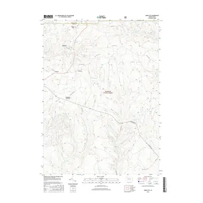
2016 Map of James City
USGS Topo · Published 2016About this map
James City sits at the northern edge of this landscape, positioned right along the border where McKean Co meets Elk Co. The topography is dominated by the dense stream network of the Allegheny National Forest, where steep drainages like Bush Hollow and Wolf Run carve into the plateau. Smaller settlements such as McKinley, Carlson, and Nansen are linked by a network of forest roads, including Highland-Kane Rd and Seven Mile Rd, reflecting a landscape deeply shaped by timber and resource management.
Find a feature on this map
30 named features on this map. Tap any name to fly to it.
Don’t see what you’re looking for? This feature index may not catch every label — zoom into the map to look around manually.
Map Details
Editions of this 2016 James City Map
This is the sole edition of this map. No revisions or reprints were ever made.
Other maps of this area

1934 · Kane
USGS Topo · 1:48,000

1935 · Mt. Jewett
USGS Topo · 1:48,000

1939 · Kane
USGS Topo · 1:62,500

1940 · Hallton
USGS Topo · 1:48,000

1940 · Mt. Jewett
USGS Topo · 1:62,500

1941 · Ridgway
USGS Topo · 1:62,500

1943 · Hallton
USGS Topo · 1:62,500

1944 · Ridgway
USGS Topo · 1:62,500

1957 · Warren
USGS Topo · 1:250,000

1958 · Warren
USGS Topo · 1:250,000
Featured Places
- Highland Corners, Highland Township
- James City, Highland Township
- McKinley, Highland Township
- Nansen, Highland Township
- Carlson, Highland Township