
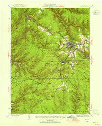
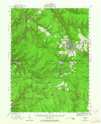
1934 Map of Kane
USGS Topo · Published 1934About this map
Kane serves as the industrial and transport hub of this 1930s landscape, where the Pennsylvania RR and the Baltimore and Ohio RR intersect. The map documents a region defined by its timber and resource extraction heritage, evidenced by numerous Pipe Line segments and the legacy of a narrow gauge route along Tionesta Creek. The presence of CCC Camp No 7 near Preston reflects the era's public works efforts in the surrounding forests, while local landmarks like the Kane Fire Tower and Highland Corners indicate the distributed nature of early 20th-century settlements.
Find a feature on this map
84 named features on this map. Tap any name to fly to it.
Don’t see what you’re looking for? This feature index may not catch every label — zoom into the map to look around manually.
Map Details
Editions of this 1934 Kane Map
3 editions found
Other maps of this area

1906 · Warren
USGS Topo · 1:62,500

1907 · Warren
USGS Topo · 1:62,500

1908 · Warren
USGS Topo · 1:62,500

1918 · Loleta
USGS Topo · 1:62,500

1924 · Bradford
USGS Topo · 1:62,500

1926 · Bradford
USGS Topo · 1:62,500

1935 · Sheffield
USGS Topo · 1:48,000

1935 · Mt. Jewett
USGS Topo · 1:48,000

1936 · Kinzua
USGS Topo · 1:48,000

1936 · Marienville
USGS Topo · 1:48,000
Featured Places
- Kane, PA
- Sheffield Township, PA
- Wetmore, Hamilton Township
- Sergeant, Wetmore Township
- Lamont, Jones Township