Loading...
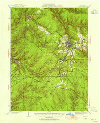
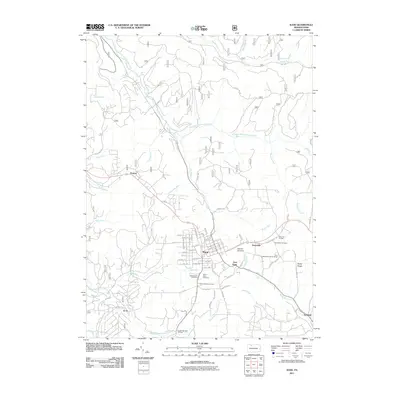
Loading map...1934 Map of Kane
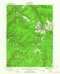
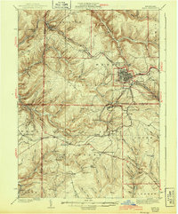
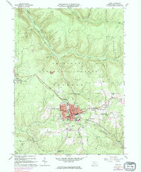
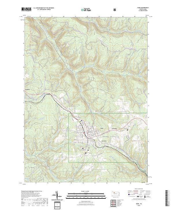
USGS Topo · Published 1955About this map
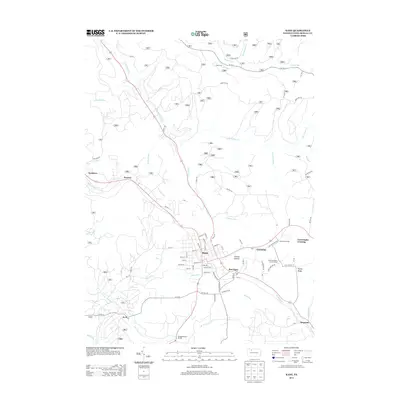
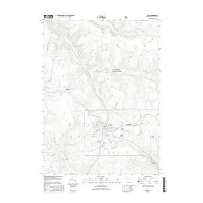
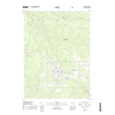
Allegheny National Forest dominates this mid-1930s landscape, where the rugged terrain of the plateau is carved by an intricate network of waterways like Tionesta Creek and South Branch Kinzua Creek. The industrial and social hub of Kane stands at the eastern edge, serving as a junction for the Pennsylvania and Baltimore and Ohio railroads. These rail lines were the lifeblood of the region's timber and mineral economies, connecting remote settlements such as Ludlow, James City, and the dual-named Russell City De Young P.O.
Find a feature on this map
79 named features on this map. Tap any name to fly to it.
Don’t see what you’re looking for? This feature index may not catch every label — zoom into the map to look around manually.
Map Details
Date Portrayed1934
Date Published1955
PublisherU.S. Geological Survey
Map TypeTopographic
Scale1:62,500
Physical Dimensions17 x 20.9 inches
Editions of this 1934 Kane Map
3 editions found

Historical Maps of Kane Through Time
8 maps found
Featured Locations
- Kane, PA
- Sheffield Township, PA
- Lamont, Jones Township
- Wetmore, Hamilton Township
- Sergeant, Wetmore Township
Source Details
SourceU.S. Geological Survey
CopyrightPublic Domain