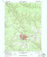
1966 Map of Kane
USGS Topo · Published 1983About this map
The plateau town of Kane serves as a dense hub of civic and industrial activity in the mid-1960s, surrounded by the protected reaches of the Allegheny National Forest. The landscape is deeply etched by the headwaters of the South Branch Kinzua Creek and West Branch Tionesta Creek, with the town site itself remarkably well-furnished with public institutions, from the Hospital and Boro Bldg to a concentrated network of schools including Central Sch and the Jr High Sch.
Find a feature on this map
59 named features on this map. Tap any name to fly to it.
Don’t see what you’re looking for? This feature index may not catch every label — zoom into the map to look around manually.
Map Details
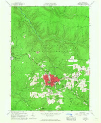
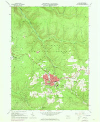
Editions of this 1966 Kane Map
3 editions found
Other maps of this area

1924 · Bradford
USGS Topo · 1:62,500

1926 · Bradford
USGS Topo · 1:62,500

1934 · Kane
USGS Topo · 1:48,000

1935 · Mt. Jewett
USGS Topo · 1:48,000

1936 · Kinzua
USGS Topo · 1:48,000

1939 · Kane
USGS Topo · 1:62,500

1940 · Mt. Jewett
USGS Topo · 1:62,500

1941 · Kinzua
USGS Topo · 1:62,500

1941 · Bradford
USGS Topo · 1:62,500

1944 · Bradford
USGS Topo · 1:62,500