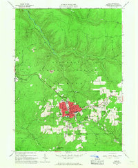
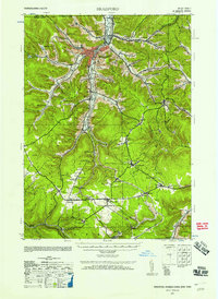
1966 Map of Kane
USGS Topo · Published 1967About this map
The industrial and civic heart of the Allegheny National Forest centers on Kane during the mid-1960s. This survey illustrates a town built on timber and mineral resources, characterized by a dense concentration of local institutions including the St Callistus Sch, the High Sch, and multiple neighborhood campuses like Clay Street Sch. The map reveals the community's social fabric through features like the Mountain Grange, the Free Methodist Church Camp, and a Drive-in Theater on the eastern edge of town.
Find a feature on this map
62 named features on this map. Tap any name to fly to it.
Don’t see what you’re looking for? This feature index may not catch every label — zoom into the map to look around manually.
Map Details
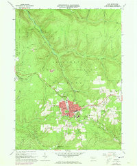
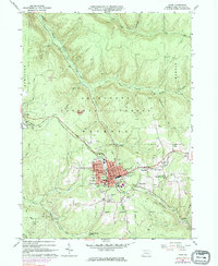
Editions of this 1966 Kane Map
3 editions found
Other maps of this area
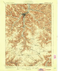
1924 · Bradford
USGS Topo · 1:62,500
1926 · Bradford
USGS Topo · 1:62,500

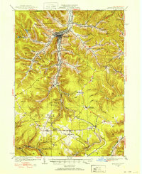
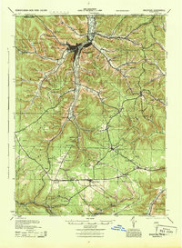
1934 · Kane
USGS Topo · 1:48,000
1935 · Mt. Jewett
USGS Topo · 1:48,000

1936 · Kinzua
USGS Topo · 1:48,000

1939 · Kane
USGS Topo · 1:62,500

1940 · Mt. Jewett
USGS Topo · 1:62,500

1941 · Kinzua
USGS Topo · 1:62,500
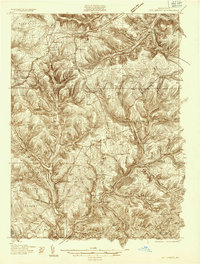
1941 · Bradford
USGS Topo · 1:62,500
1944 · Bradford
USGS Topo · 1:62,500