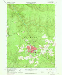
1966 Map of Kane
USGS Topo · Published 1973About this map
Kane emerges as a dense industrial and civic hub in the mid-1960s, surrounded by the heavily wooded reaches of the Allegheny National Forest. The town's grid is remarkably complete, featuring a high concentration of educational and religious institutions such as St Callistus Sch, Evergreen Park Sch, and the Clay Street Sch. This density suggests a period of stable community life and local industry, supported by the Penn Central rail lines that cut through the topography.
Find a feature on this map
57 named features on this map. Tap any name to fly to it.
Don’t see what you’re looking for? This feature index may not catch every label — zoom into the map to look around manually.
Map Details
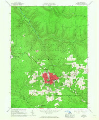
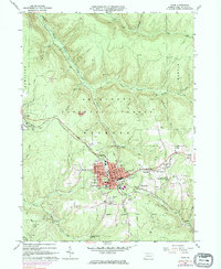
Editions of this 1966 Kane Map
3 editions found
Other maps of this area

1924 · Bradford
USGS Topo · 1:62,500

1926 · Bradford
USGS Topo · 1:62,500

1934 · Kane
USGS Topo · 1:48,000

1935 · Mt. Jewett
USGS Topo · 1:48,000

1936 · Kinzua
USGS Topo · 1:48,000

1939 · Kane
USGS Topo · 1:62,500

1940 · Mt. Jewett
USGS Topo · 1:62,500

1941 · Kinzua
USGS Topo · 1:62,500

1941 · Bradford
USGS Topo · 1:62,500

1944 · Bradford
USGS Topo · 1:62,500