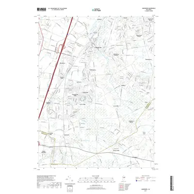
2019 Map of Jamesburg
USGS Topo · Published 2019About this map
Jamesburg and the surrounding townships of Middlesex and Monmouth counties show a landscape shaped by both historic crossroads and modern residential development. The Conrail line cuts through the heart of the region, connecting old railroad settlements like Helmetta and Cranbury Station. A network of watercourses, including the Millstone River, Cranbury Brook, and Manalapan Brook, weave through the terrain, historically supporting sites like Wyckoffs Mills and Bergen Mills.
Find a feature on this map
265 named features on this map. Tap any name to fly to it.
Don’t see what you’re looking for? This feature index may not catch every label — zoom into the map to look around manually.
Map Details
Editions of this 2019 Jamesburg Map
This is the sole edition of this map. No revisions or reprints were ever made.
Other maps of this area

1888 · Bordentown
USGS Topo · 1:62,500

1888 · New Brunswick
USGS Topo · 1:62,500

1888 · Princeton
USGS Topo · 1:62,500

1888 · Cassville
USGS Topo · 1:62,500

1893 · Bordentown
USGS Topo · 1:62,500

1893 · New Brunswick
USGS Topo · 1:62,500

1894 · Princeton
USGS Topo · 1:62,500

1894 · Cassville
USGS Topo · 1:62,500

1900 · Cassville
USGS Topo · 1:62,500

1901 · New Brunswick
USGS Topo · 1:62,500
Featured Places
- Old Bridge Township, NJ
- Monroe Township, NJ
- East Brunswick Township, NJ
- South Brunswick, NJ
- Manalapan Township, NJ