2023 Map of Jamesburg
USGS Topo · Published 2023About this map
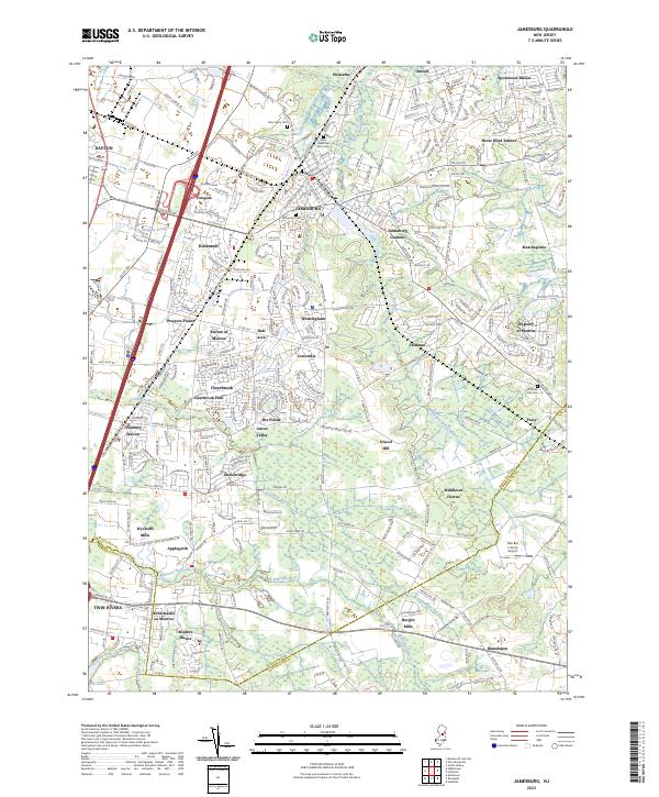
The borough of Jamesburg serves as a central hub on this map, surrounded by a complex network of planned residential communities and historical industrial corridors. The landscape is defined by the winding paths of Manalapan Brook and Cranbury Brook, which cut through a region transitioning between suburban growth and agricultural roots. To the south, the Millstone River forms a natural boundary, while the presence of Mar Bar L Farms Airport near Tracy highlights the area's mix of private land use and local infrastructure. For the genealogist or local historian, several significant burial grounds are documented, including Fernwood Cem, Saint James the Less Cem, and Hoffman Hill Cem. The map illustrates the varied settlement patterns of Middlesex County, from established villages like Helmetta and Dayton to modern developments such as Rossmoor and Clearbrook.
Find a feature on this map
294 named features on this map. Tap any name to fly to it.
Don’t see what you’re looking for? This feature index may not catch every label — zoom into the map to look around manually.
Map Details
Editions of this 2023 Jamesburg Map
This is the sole edition of this map. No revisions or reprints were ever made.
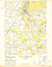
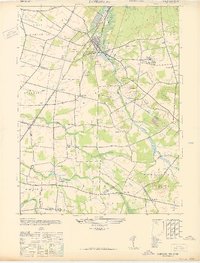
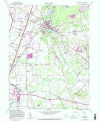
Historical Maps of Jamesburg Through Time
4 maps found
Featured Locations
- Manalapan Township, NJ
- South Brunswick, NJ
- East Brunswick Township, NJ
- Monroe Township, NJ
- Old Bridge Township, NJ