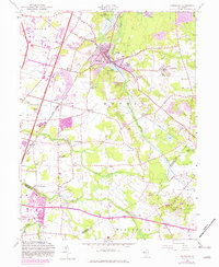
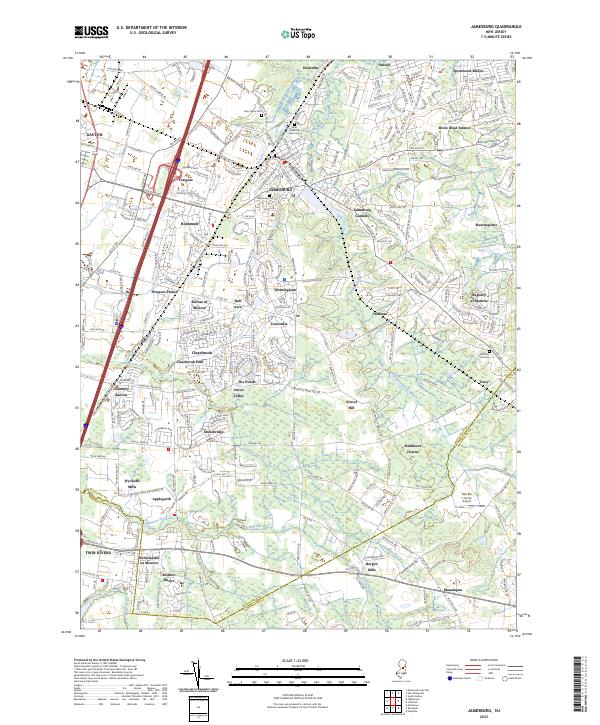
1953 Map of Jamesburg
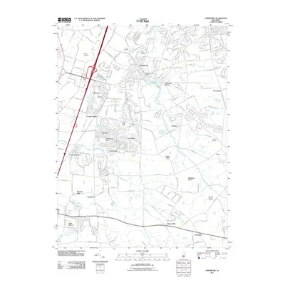
USGS Topo · Published 1988About this map
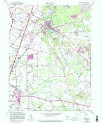
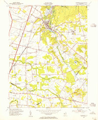
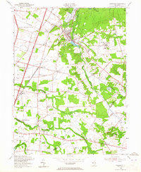
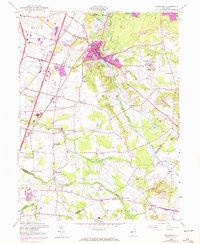
Jamesburg sits at the heart of this landscape, a borough where the waters of Lake Manalapan meet the commercial pulse of the Conrail rail line. The surrounding geography of Monroe and South Brunswick reflects a mid-century transition as agrarian roots give way to modern infrastructure, highlighted by the New Jersey Turnpike and Interchange 8a. Evidence of older rural life remains visible through family-named locales like Wyckoffs Mills and Bergen Mills, while the presence of the Jamesburg Training School and several rural schoolhouses indicates a well-established social fabric.
Find a feature on this map
56 named features on this map. Tap any name to fly to it.
Don’t see what you’re looking for? This feature index may not catch every label — zoom into the map to look around manually.
Map Details
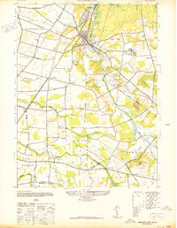
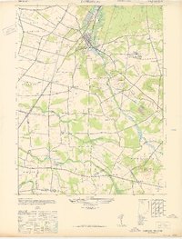
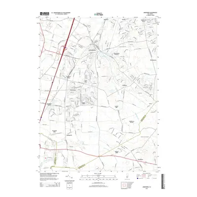
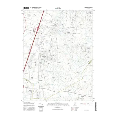
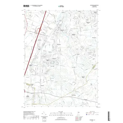
Editions of this 1953 Jamesburg Map
5 editions found
Historical Maps of Old Bridge Township Through Time
8 maps found
Featured Locations
- Manalapan Township, NJ
- South Brunswick, NJ
- East Brunswick Township, NJ
- Monroe Township, NJ
- Old Bridge Township, NJ