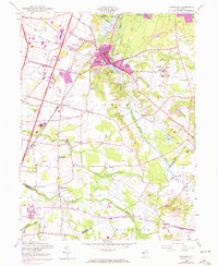
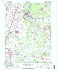
1953 Map of Jamesburg
USGS Topo · Published 1972About this map
Jamesburg and the industrial enclave of Helmetta anchor this mid-century portrait of Middlesex County, where established rail lines and early interstate development began to reshape the central New Jersey landscape. The presence of the State Home For Boys east of Lake Manalapan and the proximity of the New Jersey Turnpike illustrate a region in transition from rural mill sites to institutional and transport hubs. Historical local nodes like Prospect Plains, Half Acre, and Union Valley are clearly delineated, providing essential context for researchers tracing the evolution of these crossroads communities.
Find a feature on this map
48 named features on this map. Tap any name to fly to it.
Don’t see what you’re looking for? This feature index may not catch every label — zoom into the map to look around manually.
Map Details
Editions of this 1953 Jamesburg Map
5 editions found
Other maps of this area

1888 · Bordentown
USGS Topo · 1:62,500

1888 · New Brunswick
USGS Topo · 1:62,500

1888 · Princeton
USGS Topo · 1:62,500

1888 · Cassville
USGS Topo · 1:62,500

1893 · Bordentown
USGS Topo · 1:62,500

1893 · New Brunswick
USGS Topo · 1:62,500

1894 · Princeton
USGS Topo · 1:62,500

1894 · Cassville
USGS Topo · 1:62,500

1900 · Cassville
USGS Topo · 1:62,500

1901 · New Brunswick
USGS Topo · 1:62,500
Featured Places
- Old Bridge Township, NJ
- Monroe Township, NJ
- East Brunswick Township, NJ
- South Brunswick, NJ
- Manalapan Township, NJ