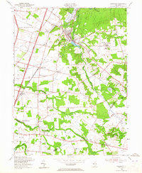
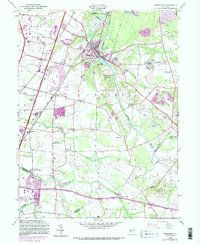
1953 Map of Jamesburg
USGS Topo · Published 1965About this map
Lake Manalapan serves as a central landmark for this Middlesex County landscape, where the Pennsylvania Railroad intersects with the developing corridor of the New Jersey Turnpike. This mid-century survey captures a region in transition, balancing the industrial presence of a Cranberry Bog and a significant Gravel Pit with the civic footprint of the State Home for Boys.
Find a feature on this map
55 named features on this map. Tap any name to fly to it.
Don’t see what you’re looking for? This feature index may not catch every label — zoom into the map to look around manually.
Map Details
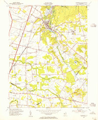
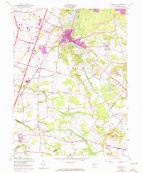
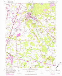
Editions of this 1953 Jamesburg Map
5 editions found
Other maps of this area

1888 · Bordentown
USGS Topo · 1:62,500

1888 · New Brunswick
USGS Topo · 1:62,500

1888 · Princeton
USGS Topo · 1:62,500

1888 · Cassville
USGS Topo · 1:62,500

1893 · Bordentown
USGS Topo · 1:62,500

1893 · New Brunswick
USGS Topo · 1:62,500

1894 · Princeton
USGS Topo · 1:62,500

1894 · Cassville
USGS Topo · 1:62,500

1900 · Cassville
USGS Topo · 1:62,500

1901 · New Brunswick
USGS Topo · 1:62,500
Featured Places
- Old Bridge Township, NJ
- Monroe Township, NJ
- East Brunswick Township, NJ
- South Brunswick, NJ
- Manalapan Township, NJ