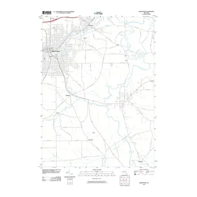
2010 Map of Jamestown
USGS Topo · Published 2010About this map
Jamestown stands as the primary urban center in this 2010 topographic survey, situated at the headwaters where the Chadakoin River begins its course toward the major waterways of the south. The city’s dense grid gives way to a network of satellite communities including Falconer, Stillwater, and Kiantone, reflecting a landscape defined by both industrial development and family-owned agricultural holdings like Carlberg Farms and Gustafson Farms. A remarkable density of burial grounds, including the large Lake View Cemetery and Mount Olivet Cemetery, provides significant data for genealogical research across the region.
Find a feature on this map
65 named features on this map. Tap any name to fly to it.
Don’t see what you’re looking for? This feature index may not catch every label — zoom into the map to look around manually.
Map Details
Editions of this 2010 Jamestown Map
This is the sole edition of this map. No revisions or reprints were ever made.
Other maps of this area

1904 · Chautaqua
USGS Topo · 1:62,500

1905 · Jamestown
USGS Topo · 1:62,500

1906 · Warren
USGS Topo · 1:62,500

1907 · Warren
USGS Topo · 1:62,500

1908 · Warren
USGS Topo · 1:62,500

1926 · Youngsville
USGS Topo · 1:62,500

1929 · Youngsville
USGS Topo · 1:62,500

1941 · Chautauqua
USGS Topo · 1:62,500

1942 · Jamestown
USGS Topo · 1:62,500

1943 · Youngsville
USGS Topo · 1:62,500